Search Listings matching "keulen" in Map Types
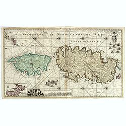
Nieuwe en Nette Afteekening van het Eyland Corsica en het Eyland Elba vertoonende alle desselfs Havenen, Steeden en Rivieren . . .
Highly decorative large sea chart of Corsica, Sardinia and Elba, including multiple sailing ships, compass roses, cartouche, coat of arms, rhumb lines, topographical deta...
Place & Date: Amsterdam, ca. 1710
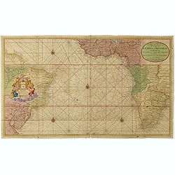
Nieuwe Wassende Graadige Pas-kaart van de Kust van Guinea en Brasilia.
Rare two-sheet sea chart of the coasts of Brazil, West Africa and South Africa, published by Johannes Van Keulen (the younger), circa 1720.The chart shows the western coa...
Place & Date: Amsterdam, 1751
[ Hong Kong / Canton ] Nieuwe Pas=Caart strekkende van Pta Cataon tot Pta. Lamtoan, langs de kusten van Cochinchina, Tonquin, Quangsi en Quantung [?] van Macao.
A finely engraved and detailed chart of Vietnam reaching to Macao and present-day Hong Kong..Very rare: only included in the 6th volume (so-called secret atlas) of Van Ke...
Place & Date: Amsterdam, 1753
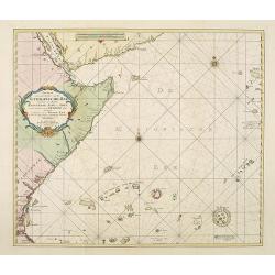
Pas-Kaat vaneen gedeelte van de Aethiopische Zee behelsende de Kusten Zanguebar, Ajan en Abex, en een gedeelte van de Arabische Kust. . .
A finely engraved and detailed chart of the most eastern tip of Africa, including Somalia, Djibouti, Yemen, Mauritius, and many other islands in the Indian Ocean.Very rar...
Place & Date: Amsterdam, 1753
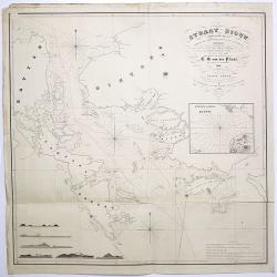
Straat Riouw onder opzicht van de commissie tot verbetering der Indische Zeekaarten..
Very large and rare so-called Blue Back centered on the strait passing between the Riau Islands. It contains an inset map with enlarged details of Riouw Harbor on Bintang...
Place & Date: Amsterdam 1843


![[ Hong Kong / Canton ] Nieuwe Pas=Caart strekkende van Pta Cataon tot Pta. Lamtoan, langs de kusten van Cochinchina, Tonquin, Quangsi en Quantung [?] van Macao.](/uploads/cache/24951-250x250.jpg)

