Browse Listings in Map Types
[Two vomlumes, with two Leo maps] De Bello Belgico, Decas Prima / Decas Secunda.
With 2 engraved titles of the 'Leo Belgicus', with one paw resting on a shield bearing the title, large woodcut printer's device on the colophons, and 30 richly engraved ...
Place & Date: Rome, Franciscus Corbelletus, 1632-1647
Bunken Edo oezu. [Tokyo]
Based on map by Ochikochi Doin. Oriented with north to the right. An extraordinary wood block-printed town-plan now-a-day Tokyo, and a fine example of Edo cartography. Th...
Place & Date: Edo, ca. 1803
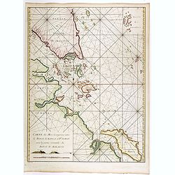
Nouvelle carte des mers comprises entre le détroit de Banca et P°. Timon avec la partie orientale du détroit de Malacca.
Important French chart of the tip of Malaysia with Singapore. Latitude and longitude scales, compass rose and system of rhumb lines, soundings near coast and in bay areas...
Place & Date: Paris, 1745
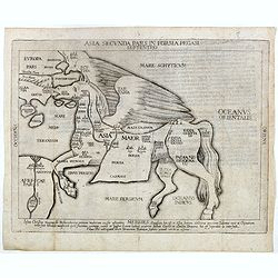
Asia secunda pars in forma Pegasi.
UNRECORDED PLATE or STATE. Asia depicted as the flying horse Pegasus. Below the depiction 3 lines of engraved Latin text. Double page copper engraved map from Heinrich B�...
Place & Date: Brunswick, ca. 1635
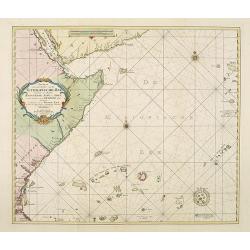
Pas-Kaat vaneen gedeelte van de Aethiopische Zee behelsende de Kusten Zanguebar, Ajan en Abex, en een gedeelte van de Arabische Kust. . .
A finely engraved and detailed chart of the most eastern tip of Africa, including Somalia, Djibouti, Yemen, Mauritius, and many other islands in the Indian Ocean.Very rar...
Place & Date: Amsterdam, 1753
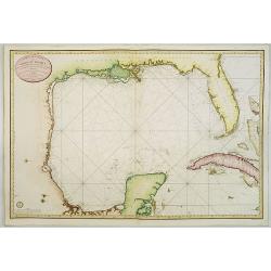
Carte des côtes du Golfe du Mexique compris entre la pointe sud de la presqu'Ile de la Floride et la pointe nord de la presqu'Ile d'Yucatan: Dresée d'après le observations et las plans des espagnols, ...
Detailed and important early chart of the Gulf Coast and Florida and dated 1800. First French edition of "the first printed [map] to show and name Galveston Bay&qu...
Place & Date: Paris, 1800
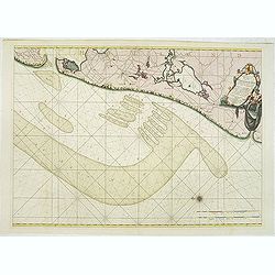
Nieuwe en zeer accuraate Zee-Caart van de Hollandse Wal strekkende van de Maas tot Texel opgenomen door Jan Rokusz Douw, , ,
A very fine and rare chart of the coast of Holland, Prepared by Jan Rokusz, Douw and Agge Roskam Kool.Embellished with a very decorative cartouche with a dedicational tex...
Place & Date: Amsterdam, 1750
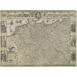
Germania.
Second state of this rare "carte à figures"- map of Germany, The Netherlands, Poland and central Europe. Bordered on three sides with portraits and views. In t...
Place & Date: Amsterdam, 1607
Carte de la coste orientale de la Chine depuis Amoy, jusqu'à Chusan avec une partie de l'Isle Formose [with] Plan du port d'Amoy ou Emouy.
Important French chart of the China Sea with the coast of Northern China, including a large depiction of Formosa.Latitude and longitude scales, compass rose and system of...
Place & Date: Paris, Jean-François Robustel, 1745
[Set of 6 maps] Charta öfver Storfurstendömet Finland på Friherre S. G. Hermelins Anstalt och Omkostnad. Sammandragen och författad af C. P. Hällström. Philos. Magister och Auscultant i Kongl. BergsColl. 1799.
This is the beautiful set of key map and separate maps of Samuel Gustav Hermelins map of Finland. The maps have been engraved by Fredrik Akrel, a very skilled and product...
Place & Date: Källa: J.Strang & E.- S. Harju: Suomen karttakirja 1799
![[Two vomlumes, with two Leo maps] De Bello Belgico, Decas Prima / Decas Secunda.](/uploads/cache/48779-250x250.jpg)
![Bunken Edo oezu. [Tokyo]](/uploads/cache/12826-250x250.jpg)
![Carte de la coste orientale de la Chine depuis Amoy, jusqu'à Chusan avec une partie de l'Isle Formose [with] Plan du port d'Amoy ou Emouy.](/uploads/cache/33583-250x250.jpg)
![[Set of 6 maps] Charta öfver Storfurstendömet Finland på Friherre S. G. Hermelins Anstalt och Omkostnad. Sammandragen och författad af C. P. Hällström. Philos. Magister och Auscultant i Kongl. BergsColl. 1799.](/uploads/cache/34482-250x250.jpg)