Browse Listings in Europe > British Isles > General
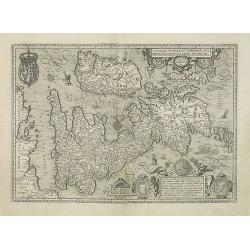
Angliae, Scotiae, et Hiberniae, sive Britannicar : Insularum descriptio.
A rare and ornate map with inset portraits of James First, Henry Prince of Wales Princess Anne of Denmark.Janssonius acquired the copperplate of van den Keere's 1604 Brit...
Date: Amsterdam, 1621
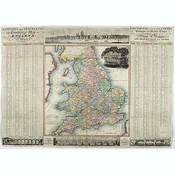
Langley's New Travelling and Commercial Map . . .
A highly desirable, detailed and uncommon map of England and Wales, published by Langley and Belch. The map is flanked by a pair of large and detailed explanation tables,...
Date: London, 1817
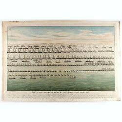
The Royal Naval review at Spithead, June 26th, 1897. In Honour of Her Majesty Queen Victoria's Diamond Jubilee.
A very decorative and large chromolithographed plate showing a line up of international vessels at Spithead, June 26th, 1897 In Honour of her Majesty Queen Victoria'a Dia...
Date: Portsea, ca. 1897
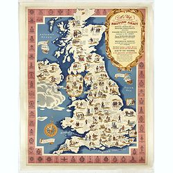
A map of the British Army with battle honours and militray achievements and Regimental Badges . . .
Shows English County Regiments, Battle Honours and Military Achievements. Bordered by Regimental Badges.A fascinating piece of British history.Read more about Pictorial M...
Date: London, 1952


