Nankin [Nanjing, Jiangsu]
Very detailed (1:1.000.000) map showing the area north of Nanjing, Jiangsu. The French Service géographique des armées was founded in 1887 and provided the French milit...
Place & Date: Paris, 1900
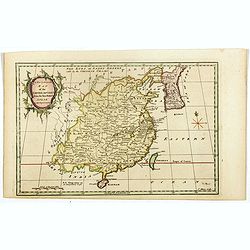
A new & accurate map of the Empire of China from the Sieur Robert's Atlas. With improvements.
An excellent early engraving of China and Korea that appeared in Sieur Robert de Vaugondy's Geographical Dictionary (London: 1759). Decorative title cartouche on the uppe...
Place & Date: London, 1759
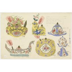
Designs for porcelain plate with Chinese design.
In right hand side "Planche d'aquarelle N° 06502". And the numbers 11.153, 11.154, 11.155. Original design created by the Sevres artist Gabriel Fourmaintraux (...
Place & Date: Desvres, 1905 - 1925
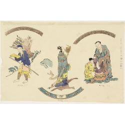
Designs for Porcelain ware with Chinese design.
In left hand side "Planche d'aquarelle N° 05501". Original design created by the Sevres artist Gabriel Fourmaintraux ( 1886 - ) at about 1910 to serve as guide...
Place & Date: Desvres, 1905 - 1925
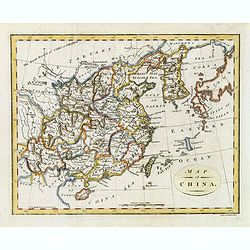
Map of China.
Showing China, Taiwan and Korea, divided into provinces with the main cities marked. The map is of interest for the use of Sea of Corea, the sea between Korea and Japan, ...
Place & Date: London, 1804
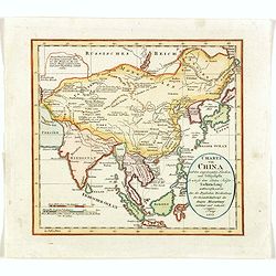
Charte von China und den angränzenden Ländern und Völkerschaften so wie den letzten Kaiser Tschien-Long. . .
Uncommon map of China on a scale of ca. 1:6,000,000. The map's complete title is “Charte von China und den angränzenden Ländern, und Völkerschaften so wie sie dem le...
Place & Date: Parague, 1812
Selling price: $400
Sold in 2023
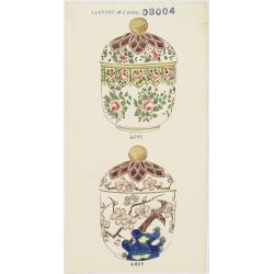
Designs for two porcelain bowls with Chinese design.
With numbers 4.601, 4.818. In top "Planche N° d'ordre : 03004.Original design created by the Sevres artist Gabriel Fourmaintraux ( 1886 - ) at about 1910 to serve a...
Place & Date: Desvres, 1905 - 1925
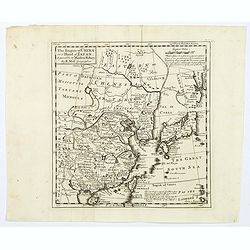
The Empire of China and Island of Japan. . .
The map is of interest for the use of East Sea, the sea between Korea and Japan, here called "Sea of Corea". Some interesting notations are made. From his atlas...
Place & Date: London, 1736
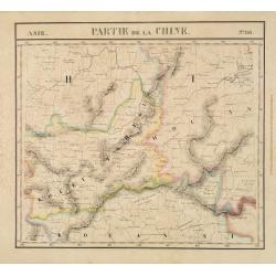
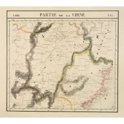
Partie de la Chine N°86. (Covers Guizhou and parts of Yunnan, Guangxi, Hunan, Hubei and Sichuan.)
Covers Guizhou and parts of Yunnan, Guangxi, Hunan, Hubei and Sichuan.From his famous Atlas Universel . This atlas was one of the most remarkable world atlases ever produ...
Place & Date: Brussels, 1825-1827
Partie de la Chine N°87. (Covers Jiangxi, Fujian and parts of Zhejiang, Guangdong, Hunan and Hubei.)
Covers Jiangxi, Fujian and parts of Zhejiang, Guangdong, Hunan and Hubei.From his famous Atlas Universel . This atlas was one of the most remarkable world atlases ever pr...
Place & Date: Brussels, 1825-1827
![Nankin [Nanjing, Jiangsu]](/uploads/cache/30031-250x250.jpg)
