Browse Listings in Europe
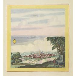
Czaslaw.
Very decorative and rare panoramic of Czaslaw, Caslav, Tschslau in Böhmen.The engraver and publisher of prints, Mrs. Anna Beek of the Hague, enlarged the print and moun...
Place & Date: The Hague, ca. 1642
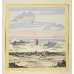
Wittstocs.
Very decorative and rare panoramic of Wittstock, Bez. Potsdam.The engraver and publisher of prints, Mrs. Anna Beek of the Hague, enlarged the print and mounted it on larg...
Place & Date: The Hague, ca. 1642
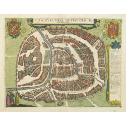
Moscovia urbs Metropolis totius Russiae Albae.
Detailed bird's-eye town-plan of Moscow from Janssonius' rare townbook. With a key (1-20) to important spots in town. The verso has French text and originates from Jansso...
Place & Date: Amsterdam, 1657
Bressia vulgo Bresse. [colored by Van Santen]
Title cartouche with putti and surveyor with surveying instruments. Upper right-hand corner Geneva, lower left Lyon and in the center Bourg-en Bresse. Upper right-hand co...
Place & Date: Amsterdam, 1650
Venecie. [Venice] Foliu XLIIII
A very fine of Venice (192x525mm.) Verso a view of Padua. Schedel's view of Venice is one of the earliest obtainable views of the city. The view is based on the view of ...
Place & Date: Nuremberg, 12 July 1493
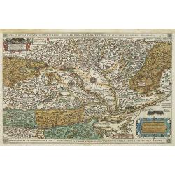
Nova et recens emendata totius Regni Ungariae una cum adiacentibus et finitimis regionisbus delineatio.
Engraved map by Jan van Deutecum, here the very rare first edition published by Cornelis Nicola in Asterdam in 1596. In very attractive original coloring.A re-issued was ...
Place & Date: Amsterdam, Cornelius Nicol, 1596
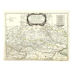
LA RUSSIE NOIRE ou POLONOISE qui Comprend les PROVINCES DE LA RUSSIE NOIRE de VOLHYNIE et de PODOLIE divisées en leurs Palatinats Vulgairement Connües sous le Nom D'VKRAINE ou PAYS DES COSAQUES.
Very rare map of the Ukraine and Poland, prepared by Sanson in 1675 in a third state, published by the heirs of Sanson, in Paris in 1706. The imprint changed to: Par les ...
Place & Date: Paris, 1706
[MANUSCRIPT] Carte nouvelle de la Crimée et des pays circonvoisins.
A beautiful manuscript map on paper. Showing the northern part of the Black Sea region with Crimea.Interesting are the border lines of "New Serbia", shown in th...
Place & Date: ca. 1752-1764
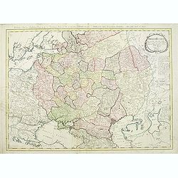
Imperium Russicum, cum regionibus adiacentibus duabus Tabulis ex optima quae A. 1784 tribus foliis comparavit Mappa geographica, aliisque subsidiis delineatum a C. Mannert, Tabula Ima. . .
A detailed map of the European part of the Russian Empire. Scarce map. Copper etching by C. Mannert and edited by Adam Gottlieb Schneider and Johann Christoph Weigel. Man...
Place & Date: Nuremberg, 1794
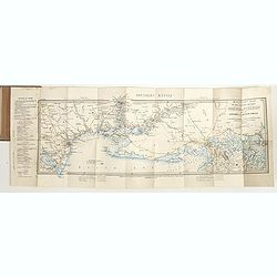
Military map of the countries between Odessa & Perekop with the stations of the Russian forces.
Rare colored linen-backed map showing Russian troop positions and Odessa Batteries. On the inside of the cover a list of "Wyld's list of recent publications : seat o...
Place & Date: London, ca. 1855
![Bressia vulgo Bresse. [colored by Van Santen]](/uploads/cache/29235-250x250.jpg)
![Venecie. [Venice] Foliu XLIIII](/uploads/cache/29716-250x250.jpg)
![[MANUSCRIPT] Carte nouvelle de la Crimée et des pays circonvoisins.](/uploads/cache/30484-250x250.jpg)
