Browse Listings in Asia
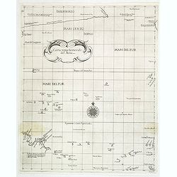
Carta terza Generale del' Asia.
Rare first state of this important chart showing part of the north coast of New Guinea and islands of the Pacific Ocean. To the north of Japan the landmass of Isola di Ie...
Place & Date: Florence, 1646
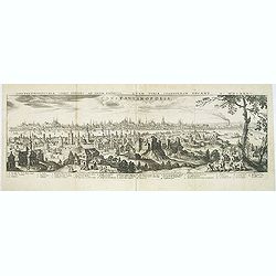
Constantinopolitanae urbis effigies ad vivum expressa, quam Turcae Stampoldam vocant. A° MDCXXXV.
Large, decorative view of the city of Constantinople, with legend across the bottom. It is beautifully engraved with quaint scenes of everyday life, including hunters wit...
Place & Date: Frankfurt, 1635
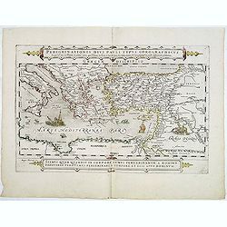
Peregrinations divi Pauli Tyrus Corographicus. . .
A beautifully executed and very rare map showing the peregrinations of St. Paul in the Eastern Mediterranean. The Mediterranean is ornated with two ships and two sea mons...
Place & Date: Paris, ca. 1640
Carte de la coste orientale de la Chine depuis Amoy, jusqu'à Chusan avec une partie de l'Isle Formose [with] Plan du port d'Amoy ou Emouy.
Important French chart of the China Sea with the coast of Northern China, including a large depiction of Formosa.Latitude and longitude scales, compass rose and system of...
Place & Date: Paris, Jean-François Robustel, 1745
[Manuscript chart on vellum of the Java Sea]
One of the few manuscript charts on vellum in private hands, signed by Isaac de Graaf. ORIGINAL MANUSCRIPT MAP IN RED, GREEN AND BLACK INK showing the Java Sea centered o...
Place & Date: Amsterdam, 1743
CH'ONHA CHIDO [Atlas of all under Heaven]
The Ch’onha chido [Atlas of all under Heaven] is a late 18th century copy of the traditional Korean atlas produced in the early Choson dynasty (1392-1910). One of the m...
Place & Date: Korea, ca. 1790
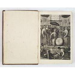
Het gezandtschap der Neerlandtsche Oost-Indische Compagnie, aan den grooten Tartarischen Cham, Den tegenwoordigen Keizer van China. . .
Third edition of this beautifully illustrated work on China. The first edition was published in 1665.Jan Nieuhof was a "Dutch traveler and adventurer" (1618-72)...
Place & Date: Amsterdam, W. Waasberge, 1693
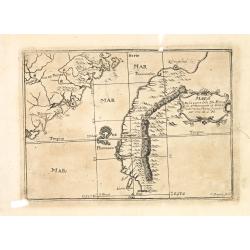
Mapa De la parte de la Isla Formosa sa perteneciente al Emperadotde la China sacado por Ord. De S.M.
Extremely rare map of the west coast of Taiwan, the Punghu or Pescadore Islands, and the Fokien or Fujian coast of China. Several ancient Taiwanese cities are noted, incl...
Place & Date: Manilla, Seminario Conciliar, y Real de San Carlos, 1788-1792
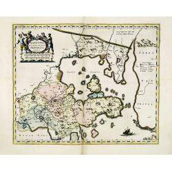
Xantung, sinarum imperii provincia quatra.
A map of the northern province ‘Xantung’ of China after the Jesuit Martino Martini.Shows the Great Wall and is centered on the Bohai Sea, and the Shandong and Liaonin...
Place & Date: Amsterdam, ca 1660
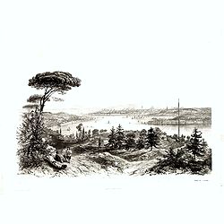
(Untitled view from Scutari with a view of Constantinople)
Panoramic view from Scutari with a view of Constantinople in the distance, after a design by Johann Schranz. Published by J. Missiriè.
Place & Date: Paris, 1860
![Carte de la coste orientale de la Chine depuis Amoy, jusqu'à Chusan avec une partie de l'Isle Formose [with] Plan du port d'Amoy ou Emouy.](/uploads/cache/33583-250x250.jpg)
![[Manuscript chart on vellum of the Java Sea]](/uploads/cache/33613-250x250.jpg)
![CH'ONHA CHIDO [Atlas of all under Heaven]](/uploads/cache/33625-250x250.jpg)
