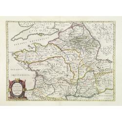
Typus Galliae Veteris, Ex conatib' Geograph. Abrah.Ortelii.
A very decorative map with countries of ancient France prepared by Abraham Ortelius and published by one of the most famous map publishers, Willem Blaeu.
Place & Date: Amsterdam, 1645
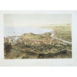
Nice Vue prise audessus de Montalban.
Beautiful view of Nice from the book "l'Italie à vol d'oiseau".
Place & Date: Paris, 1850
Bressia vulgo Bresse. [colored by Van Santen]
Title cartouche with putti and surveyor with surveying instruments. Upper right-hand corner Geneva, lower left Lyon and in the center Bourg-en Bresse. Upper right-hand co...
Place & Date: Amsterdam, 1650
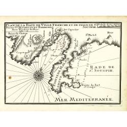
Plan de la Baye de Ville Franche et de celle de St. Souspir.
An attractive chart centered on the Mediterranean. With scale and large compass-rose. Dated 1727, with the privilege of the King. From : Recueil des Plusieurs plans des p...
Place & Date: Marseille, 1730
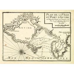
Plan de la Ville et Port d'Antibes.
An attractive chart centered on the Mediterranean. With a scale and large compass-rose. Dated 1727, with the privilege of the King. From : Recueil des Plusieurs plans des...
Place & Date: Marseille, 1730
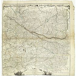
Carte particuliere d'une grande partie des estats situez sur le haut rhein et sur les rivieres qui si déchargent comme sont L'Alsace, la Souabe et la Lorraine,&c. . .
Detailed map of Alsace, Lorraine and Souabe, centered on the River Rhine.
Place & Date: Paris, 1705
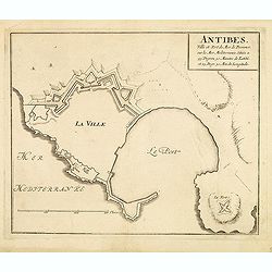
ANTIBES, Ville et Port de Mer de Provence, sur la Mer Mediterranée.
Early plan of Antibes. From his "Introduction à la fortification".
Place & Date: Paris, 1693
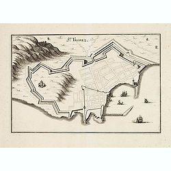
St Tropez.
Early plan of St.Tropez. From his "Introduction à la fortification".
Place & Date: Paris, 1693
Veue de la Ville, et du Port de Calais, di côte de la terre.
Showing the town of Calais; landscape with, in the left foreground, group of cavalrymen led by an officer and going to right, at right two soldiers walking alongside a ca...
Place & Date: Paris, ca. 1680
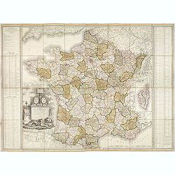
Carte de la France Divisée en 83 Départements et Subdivisée en districts avec les Chefs-lieux de Cantons Présentée à l'Assemblée Nationale et au Roi.
Spectacular folding wall map of France engraved by Barrier. Panels on both sides: "Tableau de la Division de la France d'après les décrets de l'Assemblée national...
Place & Date: Paris, Belleyme, 1791
![Bressia vulgo Bresse. [colored by Van Santen]](/uploads/cache/29235-250x250.jpg)
