Browse Listings in America > North America > North Pole
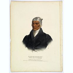
Ca-Ta-He-Cas-Sa-Black Hoof. Principal Chief of the Shawanoes.
Half-length portrait of Catahecassa wearing a dark colored jacked, grey vest, white shirt, and grey head scarf.A wonderful hand colored lithograph of Ca-Ta-He-Cas-Sa-Blac...
Place & Date: Philadelphia, 1837
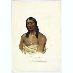
A-Na-Cam-E-Gish-Ca. A Chippeway Chief.
Half-length portrait of Anacamegishca, bare-chested, wearing a blanket and a peace medal. A-Na-Cam-E-Gish-Ca (1785-1862) - was a Chippeway Indian Chief. The Chippewa is o...
Place & Date: Philadelphia, 1837
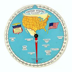
United States At-A-Glance.
A clever device for demonstrating the statistics of each state, the Area, Population, Highest Elevation, Principal River, Capital, railroad Mileage, Date Entered Union, P...
Place & Date: New York & London: International At-A-Glance Chart Co. 1931
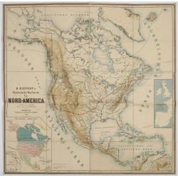
Kiepert's Physikalische Wandkarten. VI. Nord-America.
Large folding school wall map of North and Central America printed in chromo-lithography. Published by Dieter Reimer and printed by Leopold Kraatz in Berlin. Three inset...
Place & Date: Berlin, Dieter Reimer, 1864
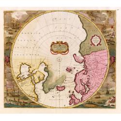
Poli Arctici, et circumiacentium terrarum descriptio novissima. . .
A re-issue of the Hondius' plate. A particularly decorative map of the North Pole with Iceland. Several Dutch names in Labrador. The toponymy in Canada reflects the conti...
Place & Date: Amsterdam, 1660
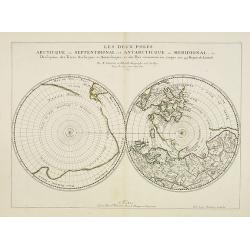
Les deux poles articque ou septentrional et antarticque..
A double hemisphere map to the North and South poles. The North pole is connected to Greenland and Spitzbergen but there is little other detailed coastline in the polar a...
Place & Date: Paris, 1657
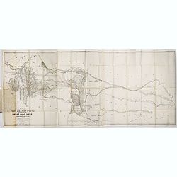
Map of the Great Salt Lake And Adjacent Country in the Territory Of Utah. Surveyed in 1849 and 1850, under the orders of Col. J.J. Abert ...
Map of the Great Salt Lake And Adjacent Country in the Territory Of Utah. Surveyed in 1849 and 1850, under the orders of Col. J.J. Abert .. by Capt. Howard Stansbury .. a...
Place & Date: Ackerman, New York, 1852
[ Chief Regolo ].
Aquatint depicting chief warriors engraved by G. G. Plate N°58.Cacique from the taíno word for the pre-Columbian tribal chiefs or leaders, of the Taino tribes in the Ba...
Place & Date: Milan, 1827
[ Chief Regolo ].
Aquatint depicting Chief Regolo (also called Cacique) accompanied by his women engraved by Gallina. Plate N°57.Cacique from the taíno word for the pre-Columbian tribal ...
Place & Date: Milan, 1827
[ Indian accessories ].
Aquatint depicting Indian accessories engraved by Gallina. Plate N°49.From Giulio Ferrario's work Le Costume Ancien et Moderne ou Histoire du gouvernement, de la milice,...
Place & Date: Milan, 1827
![[ Chief Regolo ].](/uploads/cache/27568-250x250.jpg)
![[ Chief Regolo ].](/uploads/cache/27567-250x250.jpg)
![[ Indian accessories ].](/uploads/cache/27566-250x250.jpg)