Browse Listings in Map Types > Nautical Charts
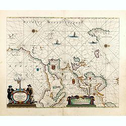
Pascaart van Europa alsmede een gedeelte vande Kust van Africa. . .
An eye-catching chart of the entirety of Europe's coastline from northern Russia to Yugoslavia in the south. Also showing the West Coast of Africa as far as the Cape-Verd...
Place & Date: Amsterdam, after 1666
Selling price: $2375
Sold in 2023
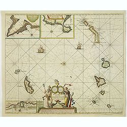
Nieuwe Pascaert van al de Carnarisse Eylanden. . .
So-called "Blue-back" sea- charts of the Canary Islands.Latitude scale, compass rose and system of rhumb lines, soundings, anchorage's, etc. A wealth of cities ...
Place & Date: Amsterdam, 1700
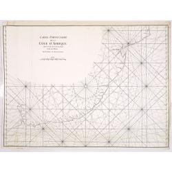
Carte particulière de la côte d'Afrique depuis le cap des Courans jusqu'à la baye de Ste Hélène. . .
Large and detailed sea chart of South Africa.Engraved by Guillaume-Nicolas Delahaye (1727-1802).Latitude and longitude scales, compass rose and system of rhumb lines, sou...
Place & Date: Paris, 1745
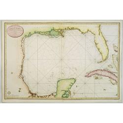
Carte des côtes du Golfe du Mexique compris entre la pointe sud de la presqu'Ile de la Floride et la pointe nord de la presqu'Ile d'Yucatan: Dresée d'après le observations et las plans des espagnols, ...
Detailed and important early chart of the Gulf Coast and Florida and dated 1800. First French edition of "the first printed [map] to show and name Galveston Bay&qu...
Place & Date: Paris, 1800
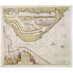
.Paskaart van de Mont van de Witte Zee,. Beginnende van Tiepena tot Pelitza, als mede van C. Cindenoes tot Catsnoes.
Fine sea chart of the southern part of the Barents Sea, oriented to the West. With five inset maps: - Swetenoes, de Kust van Laplandt, Lombascho, 'T Vaste Landt van Lapla...
Place & Date: Amsterdam, c.1710
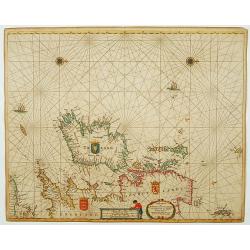
.Paskaarte om Achter Yrlandt om te Zeylen van Hitlant tot. . .
An eye-catching chart of Ireland, including the north of England and Scotland, with the West to the top.Pieter Goos (ca. 1616-1675) was one of the most important cartogra...
Place & Date: Amsterdam, 1673
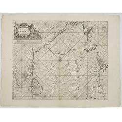
De golf van Bengalen.
Rare chart of the Indian Ocean, with nice detail on Ceylon (Sri Lanka) with compass roses and a system of rhumb lines, soundings and anchorage's. Many place names. The pl...
Place & Date: Amsterdam, after 1669-1712
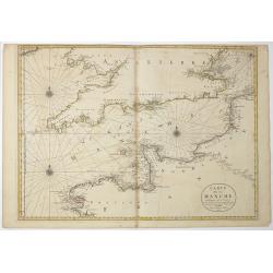
Carte de la Manche. . .
Decorative chart showing the Chanel, with the coastline of France from La Baie de Douarnenez to Dunkerque, and the coastline of England from Stroble head to Manning Tree....
Place & Date: Amsterdam, 1692
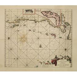
Pas-kaart vande Zee kusten van Venecuela met de Byleggende Eylanden. . .
Rare chart of the coast of Venezuela, including the islands of Curaçao, Bonaire, Aruba, etc.The chart has two insets, one (15x22cm) with a map of Curaçao, one smaller w...
Place & Date: Amsterdam, 1680
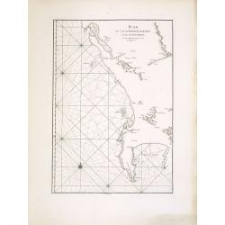
Plan du Cap de Bonne-Esperance et ses environs..
Large and detailed sea chart of the Cape of Good Hope from Saldahna Bay to False Bay.Engraved by Guillaume-Nicolas Delahaye (1727-1802).Latitude and longitude scales, com...
Place & Date: Paris, 1745
