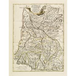
Il Governo di Guascogna con porzione del Governo di Guienna.
Rare regional map of France of the Périgord, Guienne, Gascogne and the Béarn published by Carli Pazzini in Siena.
Place & Date: Siena, 1792
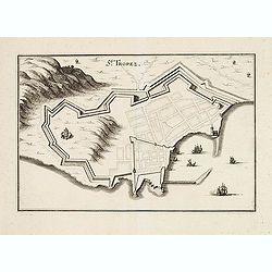
St Tropez.
Early plan of St.Tropez. From his "Introduction à la fortification".
Place & Date: Paris, 1693
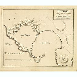
ANTIBES, Ville et Port de Mer de Provence, sur la Mer Mediterranée.
Early plan of Antibes. From his "Introduction à la fortification".
Place & Date: Paris, 1693
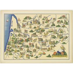
Guyenne - Gascogne.
Very decorative, informative map of Guyenne and Gascogne region in France. The map is filled with buildings, animals, figures and two locals. With a large compass rose in...
Place & Date: France, 1943
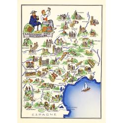
Languedoc - Foix Roussillon.
Very decorative, informative map of Languedoc - Foix Roussillon region in south eastern France. Including the towns of Carcassonne, Montpellier, Albi, Toulouse, etc.The m...
Place & Date: France, 1943
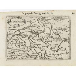
Biturigum.
A miniature map of the Berry. Fine cartouche in the upper left corner.First published in 1598 in his Caert-Thresoor, the plates were executed by the most famous engravers...
Place & Date: Amsterdam/Frankfurt 1609
Lutece conquise par les François sur les Romains ou second plan de la ville de Paris [...] par M.L.C.D.L.M.
Engraved plan of Paris, published in "Traité de la police de Nicolas de Lamare". Oriented to the North with a compass rose and equipped with a double scale (40...
Place & Date: Paris, 1729
Le Roy de Navarra venant à Paris recheut le coup de cousteau au visaige par ung Pierre Chastel, lequel par quatre chevaulx fut tiré en pièces, faict le 27 de Decemb[re] l'an 1594.
Engraved news-sheet with text in German and French. Pictorial reportage on the failed assassination attempt on King Henri IV of France by Jean Châtel (here identified as...
Place & Date: Cologne, ca. 1600
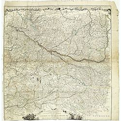
Carte particuliere d'une grande partie des estats situez sur le haut rhein et sur les rivieres qui si déchargent comme sont L'Alsace, la Souabe et la Lorraine,&c. . .
Detailed map of Alsace, Lorraine and Souabe, centered on the River Rhine.
Place & Date: Paris, 1705
Dépt. De L'Aude. N°10. [ Carcassonne ]
Map of the Aude region, centered on the town of Carcassonne. Reaching to the right till the Mediterranean.Lovely map from one of the last decorative atlases of the ninete...
Place & Date: Paris, A. Combette, 1852
![Lutece conquise par les François sur les Romains ou second plan de la ville de Paris [...] par M.L.C.D.L.M.](/uploads/cache/42141-250x250.jpg)
![Le Roy de Navarra venant à Paris recheut le coup de cousteau au visaige par ung Pierre Chastel, lequel par quatre chevaulx fut tiré en pièces, faict le 27 de Decemb[re] l'an 1594.](/uploads/cache/38548-250x250.jpg)
![Dépt. De L'Aude. N°10. [ Carcassonne ]](/uploads/cache/27089-250x250.jpg)