Browse Listings in Europe > France > France Provinces
Dépt. De L'Aude. N°10. [ Carcassonne ]
Map of the Aude region, centered on the town of Carcassonne. Reaching to the right till the Mediterranean.Lovely map from one of the last decorative atlases of the ninete...
Place & Date: Paris, A. Combette, 1852
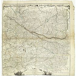
Carte particuliere d'une grande partie des estats situez sur le haut rhein et sur les rivieres qui si déchargent comme sont L'Alsace, la Souabe et la Lorraine,&c. . .
Detailed map of Alsace, Lorraine and Souabe, centered on the River Rhine.
Place & Date: Paris, 1705
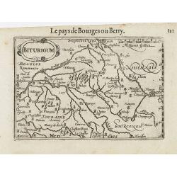
Biturigum.
A miniature map of the Berry. Fine cartouche in the upper left corner.First published in 1598 in his Caert-Thresoor, the plates were executed by the most famous engravers...
Place & Date: Amsterdam/Frankfurt 1609
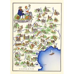
Languedoc - Foix Roussillon.
Very decorative, informative map of Languedoc - Foix Roussillon region in south eastern France. Including the towns of Carcassonne, Montpellier, Albi, Toulouse, etc.The m...
Place & Date: France, 1943
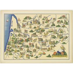
Guyenne - Gascogne.
Very decorative, informative map of Guyenne and Gascogne region in France. The map is filled with buildings, animals, figures and two locals. With a large compass rose in...
Place & Date: France, 1943
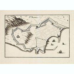
St Tropez.
Early plan of St.Tropez. From his "Introduction à la fortification".
Place & Date: Paris, 1693
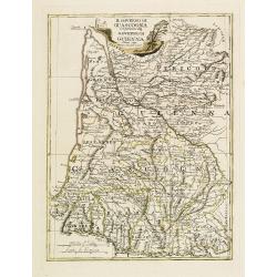
Il Governo di Guascogna con porzione del Governo di Guienna.
Rare regional map of France of the Périgord, Guienne, Gascogne and the Béarn published by Carli Pazzini in Siena.
Place & Date: Siena, 1792
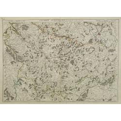
Picardie Meridionale Le Cambresis et leurs Environs.
Map showing the region of Picardie in Northern France. Including the towns of Abbeville, Amiens, Compiegne, Soisson, Chambray, etc.
Place & Date: Paris, 1737
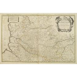
Le comte d'Artois dresse sur les memoires les plus nouveaux. . .
Map showing the north of France, showing St Omer, and Arras, etc. The map notes Nicolas Sanson as the mapmaker and claims that the map was published by Alexis-Hubert Jail...
Place & Date: Amsterdam, 1693
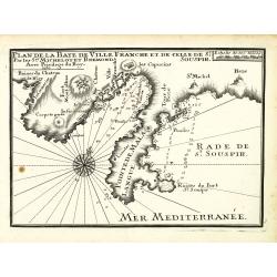
Plan de la Baye de Ville Franche et de celle de St. Souspir.
An attractive chart centered on the Mediterranean. With scale and large compass-rose. Dated 1727, with the privilege of the King. From : Recueil des Plusieurs plans des p...
Place & Date: Marseille, 1730
![Dépt. De L'Aude. N°10. [ Carcassonne ]](/uploads/cache/27089-250x250.jpg)
