Search Listings matching "curated-collection" in Map-fair Highlights
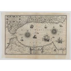
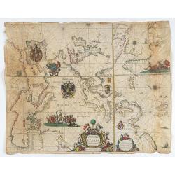
Hydrograhica descriptio
This very rare chart is important as the first printed sea chart of the Mediterranean coast of Spain, Gibraltar, also depicting the northern coast of Marocco.Willem Bar...
Place & Date: Amsterdam, W.Blaeu, 1612
Wassende graade paskaart vertonende alle de Zeekusten van Europa, de geheele middelandsche Zee…
Wassende graade paskaart vertonende alle de Zeekusten van Europa, de geheele middelandsche Zee, als cock ten Noordwesten, en Noordoosten soo veer als ons tot noch toe bek...
Place & Date: Amsterdam, 1658
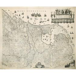
Les Provinces confederées du Pais-Bas
The first wall map of the Seven Provinces of 1651, re-issued as 'Stoel des Oorlogs' by Covens & Mortier. The first issue of the present wall-map is known to be includ...
Place & Date: Amsterdam, c. 1740
[Manuscript chart on vellum of the Java Sea]
One of the few manuscript charts on vellum in private hands, signed by Isaac de Graaf. ORIGINAL MANUSCRIPT MAP IN RED, GREEN AND BLACK INK showing the Java Sea centered o...
Place & Date: Amsterdam, 1743
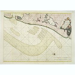
Nieuwe en zeer accuraate Zee-Caart van de Hollandse Wal strekkende van de Maas tot Texel opgenomen door Jan Rokusz Douw, , ,
A very fine and rare chart of the coast of Holland, Prepared by Jan Rokusz, Douw and Agge Roskam Kool.Embellished with a very decorative cartouche with a dedicational tex...
Place & Date: Amsterdam, 1750
[ LANDSKROON ]. Oranda Fune no zu [= Depiction of a Dutch Ship].
A very large and extremely detailed Japanese drawing on rice paper of a Dutch ship at the artificial island Deshima, the VOC's outpost in Nagasaki harbour. In the drawing...
Place & Date: Japan, Kansei 4, 2nd month, 9th day, 30 March? 1792
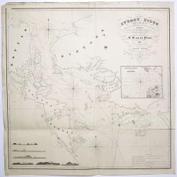
Straat Riouw onder opzicht van de commissie tot verbetering der Indische Zeekaarten..
Very large and rare so-called Blue Back centered on the strait passing between the Riau Islands. It contains an inset map with enlarged details of Riouw Harbor on Bintang...
Place & Date: Amsterdam 1843
![[Manuscript chart on vellum of the Java Sea]](/uploads/cache/33613-250x250.jpg)
![[ LANDSKROON ]. Oranda Fune no zu [= Depiction of a Dutch Ship].](/uploads/cache/28003-250x250.jpg)
