Browse Listings in Europe > France > France Provinces
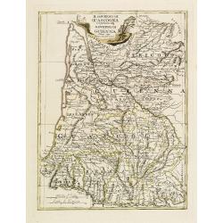
Il Governo di Guascogna con porzione del Governo di Guienna.
Rare regional map of France of the Périgord, Guienne, Gascogne and the Béarn published by Carli Pazzini in Siena.
Place & Date: Siena, 1792
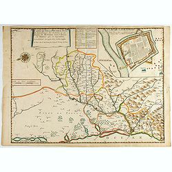
Carte du Siège Présidial Dax... Nouvellement Deseignee Par le...
Very rare map including Bayonne and Dax in the southwest of France. With inset plan of "Plan de la ville Dax.". With the address "Chez F. Dela Pointe sur l...
Place & Date: Paris, 1638
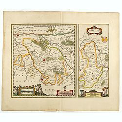
Loudunois. Laudunum / Mirebalais.
Two maps on one sheet. Centered on Loudun and Mirebeau. Showing lower left cartouche putti playing with grapes.German text on verso.
Place & Date: Amsterdam, after 1636
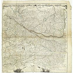
Carte particuliere d'une grande partie des estats situez sur le haut rhein et sur les rivieres qui si déchargent comme sont L'Alsace, la Souabe et la Lorraine,&c. . .
Detailed map of Alsace, Lorraine and Souabe, centered on the River Rhine.
Place & Date: Paris, 1705
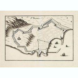
St Tropez.
Early plan of St.Tropez. From his "Introduction à la fortification".
Place & Date: Paris, 1693
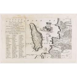
Isola d'Oleron, nella piaggie occidentali della Francia.
A beautiful and rare map showing île d'Oleron.The remarkable Vincenzo Coronelli (1650-1718), encyclopaedist, geographer, inventor and Doctor of Theology, was citizen of ...
Place & Date: Venice, 1690
Le Duché d'Aiguillon Tracé Par le Sr. Du Vall.
Home of the "Cahors” This AOC is the most famous of the sub-regions and home to the popular variety Malbec. These inky wines have been adored for centuries, especi...
Place & Date: Amsterdam, 1650
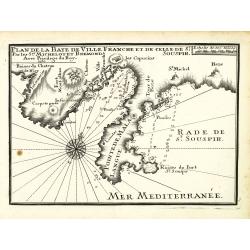
Plan de la Baye de Ville Franche et de celle de St. Souspir.
An attractive chart centered on the Mediterranean. With scale and large compass-rose. Dated 1727, with the privilege of the King. From : Recueil des Plusieurs plans des p...
Place & Date: Marseille, 1730
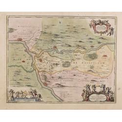
Bressia vulgo Bresse. [colored by Van Santen]
Title cartouche with putti and surveyor with surveying instruments. Upper right-hand corner Geneva, lower left Lyon and in the center Bourg-en Bresse. Upper right-hand co...
Place & Date: Amsterdam, 1650
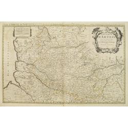
Le comte d'Artois dresse sur les memoires les plus nouveaux. . .
Map showing the north of France, showing St Omer, and Arras, etc. The map notes Nicolas Sanson as the mapmaker and claims that the map was published by Alexis-Hubert Jail...
Place & Date: Amsterdam, 1693
![Bressia vulgo Bresse. [colored by Van Santen]](/uploads/cache/29235-250x250.jpg)
