Browse Listings in Europe
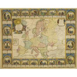
Carte d'Europe . . .
Rare. Uncommon and decorative wall map of Europe, prepared by Clouet. With superb decoration including a wonderful rococo border with vignettes describing historical scen...
Place & Date: Paris, 1785-1788
A Perspective View of the Admiralty Office, Dock-Yard, Storehouses &c. at Amsterdam.
Decorative engraving giving good detail of the intense activity in the Amsterdam dockyards.Engraved for BANKES's New System of Geography
Place & Date: Amsterdam, 1780
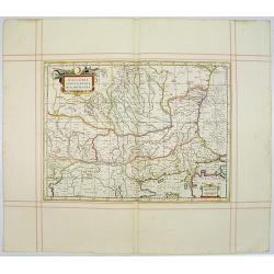
Walachia Servia, Bulgaria, Romania.
The cartographer of this map was Gerard Mercator. This attractive map of the Eastern Balkans is centered on Bulgaria and includes the Bosphorus and Constantinople. The Da...
Place & Date: Oxford, 1680
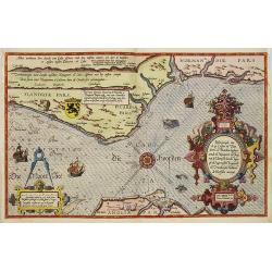
Beschrijvinge vande de zee Cuften va Vlanderen en Picardien. . .
DUTCH TEXT EDITION. A detailed chart of the coast of Flanders and Normandy decorated by a large colorful baroque title cartouche, and the coat of arms of Flanders with a ...
Place & Date: Leiden, Plantijn, 1585
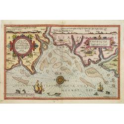
De zee cuften tufschen Dovere en Orfords nesse, daer de Teemse de Vermaerde Rivire van Lonen gelegens is. . .
A detailed chart of the English Channel coastland. Decorated by a colorful title cartouche and scale cartouche, one compass rose, several vessels and sea monsters. A very...
Place & Date: Leiden, Plantijn, 1585
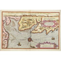
Belchrijuinghe vande zee custen van Engelandt. . .
A rare Dutch text edition of this detailed early chart of the northern coast of England. West to the top. The mileage cartouche has no Latin captures. Decorated by a colo...
Place & Date: Leiden, Plantijn, 1585
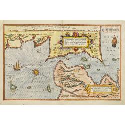
Zee caerte vande Sondt tvermaerste van Danemarcke . . .
A detailed chart of the coast of Denmark and its islands, Copenhagen in the center of the chart. West to the top. It is decorated by a title, scale and descriptive cartou...
Place & Date: Leiden, Plantijn, 1585
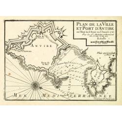
Plan de la Ville et Port d'Antibes.
An attractive chart centered on the Mediterranean. With a scale and large compass-rose. Dated 1727, with the privilege of the King. From : Recueil des Plusieurs plans des...
Place & Date: Marseille, 1730
Erfolgte Kapitulation zwischen dem General Bonaparte und den Gross Leister von Malta. Vor der Hauptstadt Walette zu Maltha, am 10 Juni 1798.
Copper engraving with three scenes and one portrait on one sheet. In upper a view of Bonaparte arriving at Valletta. Published in "Allgemeine Welt-Chronik oder neue ...
Place & Date: Zittau, 1798-1800
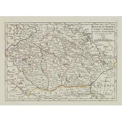
Royaume de Bohéme, Marquisat de Moravie, et Silésie Autrichenne.
Small detailed map of today Czech Republic. From Atlas Portatif Universel, by Robert de Vaugondy.Unrecorded state with erased date. Page 32 outside border top right. Mary...
Place & Date: Paris, later than 1749
