Maritime charts and instruments catalog
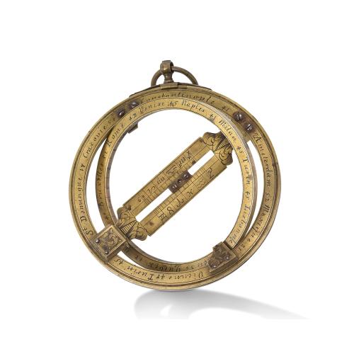
Instruments catalog
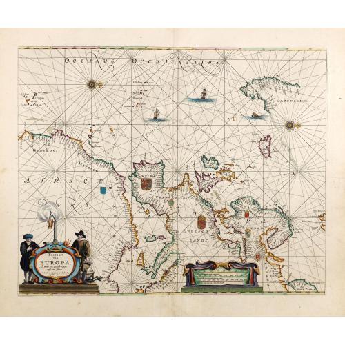
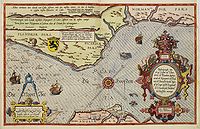
Charts catalog
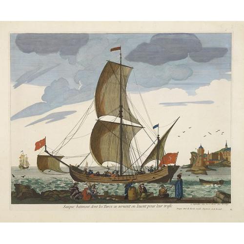
Maritime Prints catalog
Click on any of the above images to see the items in the catalog
Sea charts
whether printed or in manuscript form, often have a
romantic appeal far stronger than that of land maps. The romance of the
seaman's intrepid voyages through uncharted waters can often be sensed
when examining a chart.
Before the development of printing, there was an active chart-making
industry based around the Mediterranean in places like Genoa, Venice and
Majorca. From such centers, manuscripts, 'rutters' and 'portolans' were
produced for the Mediterranean and Southern European Atlantic coasts.
Throughout the sixteenth century the manuscript portolan, in single
sheet or atlas
form was the only relatively accurate source of navigating
information.
 By 1584 an experienced seaman and pilot,
Lucas Jansszoon Waghenaer,
had published his compilation of charts, "Spieghel der Zeevaerdt".
During the first half of the seventeenth century, Amsterdam saw the
production of many printed charts and chart books, most of which are now
very rare. The Blaeu's, Gerritz, Barents, Colom, Lootsman, Doncker, van
Loon, Robijn, Roggeveen,
Goos, and de Wit are renowned for their output.
By 1584 an experienced seaman and pilot,
Lucas Jansszoon Waghenaer,
had published his compilation of charts, "Spieghel der Zeevaerdt".
During the first half of the seventeenth century, Amsterdam saw the
production of many printed charts and chart books, most of which are now
very rare. The Blaeu's, Gerritz, Barents, Colom, Lootsman, Doncker, van
Loon, Robijn, Roggeveen,
Goos, and de Wit are renowned for their output.
Another important
firm of chart producers
was the Van Keulen family, who published charts - both manuscript and
printed - and atlases from about 1680 for over one hundred years. Their
dominance in the Dutch trade was confirmed by appointment, in 1714, of
Gerard van Keulen as hydrographer to the V.O.C.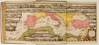
If not blue-backed, charts were often printed on thick paper or thin paper laid on thick in order to prolong their working life.
Under Louis XIV French interest in the sciences incorporated a
reappraisal of all cartographic techniques. It was here that the first
central organization for chart provision was founded in 1720;
the Dépôt Général de la Marine, followed by Denmark in 1784.
The Spanish established the Direccion de Hidrografica in
1800, and the American U.S. Coast Survey followed in
1811.
