Browse Listings in Asia > South East Asia > South East Asia general
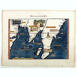
Tabula nova utriusque Indiae.
This is the fourth and last edition of this map based on Waldseemüller's first "modern" map of Asia. It follows that cartography without change but adds an int...
Place & Date: Vienne, 1541
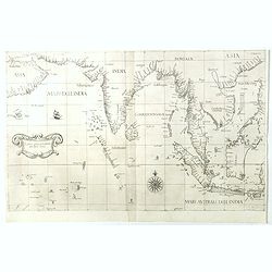
Carta prima Generale dell' Asia.
FIRST STATE of Robert Dudley's general chart of the Persian Gulf, going east through India to the southeastern coast of China showing Macau and the area of present-day Ho...
Place & Date: Florence, 1646
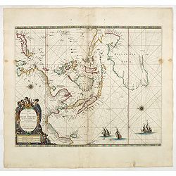
Paskaerte Zynde t'Oosterdeel Van Oost Indien, met alle de Eylanden daer ontrendt geleegen van C. Comorin tota aen Iapan.
An eye-catching chart of Pieter Goos' sea chart of Australia, Southeast Asia, China, Japan, Korea and India. The chart shows the regions from Cape Comorin (Southern India...
Place & Date: Amsterdam, 1669
Le Royaume de Siam avec Les Royaumes Qui Luy sont Tributaries & c. / La Royaume de Siam avec les royaumes qui luy sont Tributaires, et les Isles de Sumatra, Andemaon, etc. . . [two sheet map]
Influential map of Southeast Asia and the East Indies including modern day Thailand, southern Vietnam, Cambodia, Malaysia, Singapore, Borneo, Sumatra and Java. Ottens inc...
Place & Date: Amsterdam, 1710
View in the island of Cracatoa. [Rakata in the Sunda Strait]
Early view of the volcano Krakatoa (Indonesian name: Krakatau), on the Indonesian island of Rakata in the Sunda Strait, taken from "Views in the South Seas" bei...
Place & Date: London, Boydell and Co., 1808
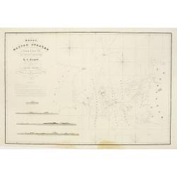
Kaart van de Gaspar Straaten volgens opnemingen van J.Stolze, D.Ross, enz.
Very large and rare chart centered on the strait between Bangka's southeastern seacoast and Belitung's western shores.Short front views of the coastal relief are shown in...
Place & Date: Amsterdam 1843


![Le Royaume de Siam avec Les Royaumes Qui Luy sont Tributaries & c. / La Royaume de Siam avec les royaumes qui luy sont Tributaires, et les Isles de Sumatra, Andemaon, etc. . . [two sheet map]](/uploads/cache/40698-250x250.jpg)
![View in the island of Cracatoa. [Rakata in the Sunda Strait]](/uploads/cache/30051-250x250.jpg)
