Browse Listings
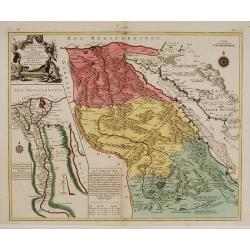
Le cours entier du grand et Fameux Nil. . .
Scarce. A splendid map of ancient Egypt. West is at the top and the Nile bisects Egypt. A inset shows modern Egypt to good detail. With the Red Sea and part of the Arabia...
Place & Date: Augsburg, 1760
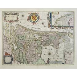
Hollandia Comitatus.
Orientated west to the top of the sheet, this presents the County of Holland in the classical orientation for seventeenth-century maps, with Amsterdam at the center. The ...
Place & Date: Amsterdam, 1660
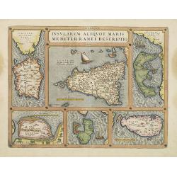
Sardinia / Sicilia.. / Corfu / Zerbi.. / Elba / Malta. . .
Six very fine and early maps on one sheet. Including the islands of Sicily, Corfu, Sardinia, Zerbi (Djerba), Elba and Malta.The map of Malta has a sinking ship at Cala di...
Place & Date: Antwerp, 1570-1612
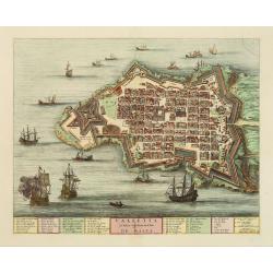
Valletta ou Valete ville Forte, de l'Isle de Malta.
A beautifully engraved and richly detailed birds-eye plan of the harbour and city of Valletta seen from the northwest. In lower part extensive key, identifying 57 feautur...
Place & Date: Amsterdam, 1705
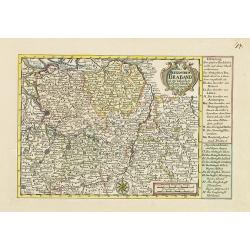
Das Hertzogthum Braband. . .
Charming map of the Dutch and Belgium province of Brabant. With a fine cartouche.
Place & Date: Leipzig, 1749
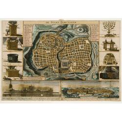
De Stadt Jerusalem.
Plan of ancient Jerusalem from a Dutch bible after Villalpando. The print is in contemporary colors, which is extremely rare for a plate like this. Lower left the Temple ...
Place & Date: Amsterdam, 1710
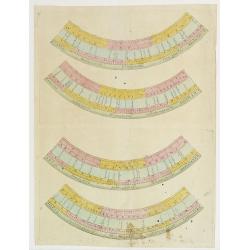
Horizon ring for globe.
Printed horizon ring for a 28cm diameter German globe. The ring is divided in quarters and engraved two by two on one copper plate. The size of the paper is 44 x 33cm. Th...
Place & Date: Nuremberg, 1704/1705
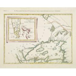
Ilse Paese de' Selvaggi.. Lago Superiore. (Florida and the Bahamas)
Antonio Zatta published an Italian version of the John Mitchell map in twelve sheet. This sheet depicts Lake Superior in the Bellin version, as it appeared on the Mitchel...
Place & Date: Venice, 1778
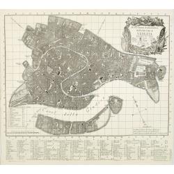
Nuova Pianta Iconografica.. Venezia.
Precise bird's-eye town-plan of Venice, clearly depicting the city's architectural landmark, being a reduction of Ughi's 8-sheet map of 1725. There is a grid engraved ove...
Place & Date: Venice, 1818
Provincie Noord-Braband.
Decorative and uncommon costume plate lithographed by Desguerrois & Co. and published by Frans Buffa & Zonen in Amsterdam. 12 illustrations of Brabant costumes: 1...
Place & Date: Amsterdam, 1857
