Search Listings matching "philippines"
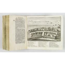
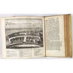
Beschrijving van Oud en Nieuw Oost-Indien. Vervattende een Naukeurige en uitvoerige verhandelinge van Nederlands Mogentheyd [...] met meer dan thien honderd en vyftig Prentverbeeldingen verrykt...
"The most comprehensive work on Asia published in Europe during the early colonial period" (Landwehr). The first book to give a comprehensive account in text an...
Place & Date: Dordrecht /Amsterdam, 1724-1726
A chart of the China Sea inscribed to Monsr. D'APRES de MANNEVILLETTE .. To A.Dalrymple.
Most important milestone chart is based upon the surveys made from navigational surveys by Alexander Dalrymple (1737-1808]. He was the first hydrographer of the British A...
Place & Date: Paris, ca 1775
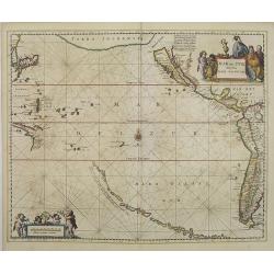
Mar del Zur, Hispanis Mare Pacificum.
Janssonius' fine chart of the Pacific including the west coast of America with California shown as an island, Japan and a small Australian coastline. This is the earliest...
Place & Date: Amsterdam, 1650
Lo Stati Presente di Tutti i Paesi e Popoli del Mondo..
This most uncommon work provides an interesting focus on the dissemination of the outline of Japan provided by Kaempfer. Beside the description of Japan, the book include...
Place & Date: Venice, 1734
Hedendaegsche Historie of tegenwoordige staet van alle volkeren 1 deel. (Volume 1 - China, Japan, Phillippines, Moluccas)
This provides an interesting illustrated description of China, Japan, the Phillippines, Moluccas. Including a map of China, Korea, and Japan, with the Sea between Korea a...
Place & Date: Amsterdam, 1734
North Pacific.
Huge three sheet so-called Blue-back sailing chart of the Northern Pacific including China, Korea (with Matu Is. and Liancourt), Japan, Philippines, Kamchatka, Hawaii, Al...
Place & Date: London, 1868
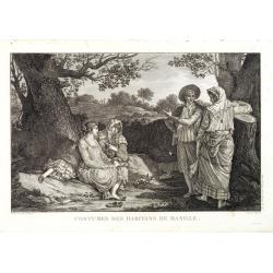
Costumes des habitans de Manille.
A very beautiful print, showing four elegant figures relaxing in a shady glade, two women recline and two stand chatting.After a design of Duché de Vancy and engraved by...
Place & Date: Paris, 1798
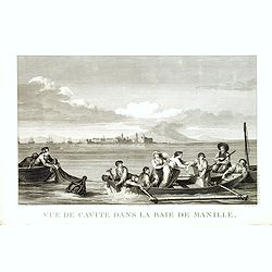
Vue de cavite dans la Baie de Manille.
Two boats and passengers with Cavite Philippines in the background as if was seen from Manila Bay in January 1787. After a design of Gaspard Duchè de Vancy and engraved ...
Place & Date: Paris, 1798
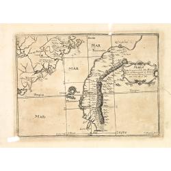
Mapa De la parte de la Isla Formosa sa perteneciente al Emperadotde la China sacado por Ord. De S.M.
Extremely rare map of the west coast of Taiwan, the Punghu or Pescadore Islands, and the Fokien or Fujian coast of China. Several ancient Taiwanese cities are noted, incl...
Place & Date: Manilla, Seminario Conciliar, y Real de San Carlos, 1788-1792
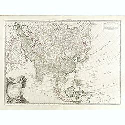
L'Asie divisée en ses principaux Etats..
Finely and crisply engraved map of Asia, decorated with an ornamental title cartouche in the lower-left corner. The map is of interest for the use of Mer de Corée for th...
Place & Date: Venice, 1776 - 1784
![Beschrijving van Oud en Nieuw Oost-Indien. Vervattende een Naukeurige en uitvoerige verhandelinge van Nederlands Mogentheyd [...] met meer dan thien honderd en vyftig Prentverbeeldingen verrykt...](/uploads/cache/47258-250x250.jpg)

