Search Listings matching "pacific" in Australia & Oceania > Australia > Australia Maps
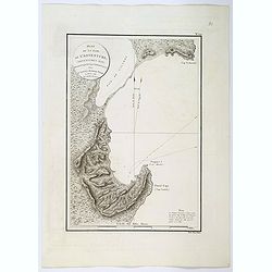
Plan de la Baie de L'Adventure. . .
A French maritime chart of Adventure Bay in S.E. Tasmania. Adventure Bay is the name of both a township and a geographical feature on the eastern side of Bruny Island. Th...
$1500 / ≈ €1324
Place & Date: Paris, ca 1807
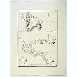
Plan du Port du Sud de la Baie de la Recherche / Croquis de la Baie des Moules. . .
A French maritime charts of the Port du Sud in Research Bay and the mouth of the Bay of Mussels, both in southern Tasmania. This is the edition of the extremely rare atla...
$1500 / ≈ €1324
Place & Date: Paris, ca 1807
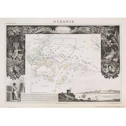
Océanie.
A very decorative 19th century map of the Pacific Ocean, with hand colored lines indicating the extent of Polynesia, Mirconesia, Melanesia, and Malaysia (or Southeast Asi...
$150 / ≈ €132
Place & Date: Paris, 1850


