Paulus Swaen BuyNow Gallery
Ga naar de Nederlandse versie van deze pagina 
The items are immediately available and no commission is charged.
The BuyNow Gallery catalog offers more than two thousand maps, prints, atlases, posters, and medieval manuscripts at a high-quality level, in very good condition, and at affordable prices. The items are sold with a certificate of authenticity.
- The shipping fee is $ 25 per combined shipment, including handling and insurance for shipments within Europe and North USA. Shipments to Asia, Australia, Africa and South America are $ 50.- Payments are to be done in US $ or Euros.


gallery-conditions-of-sale
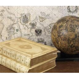
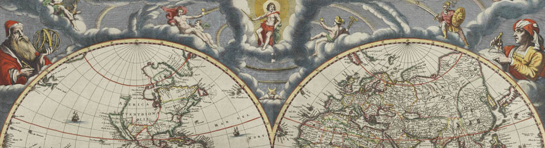
In this highlights section of the BuyNow Gallery catalog, we aim to show you some personal favorites from our large stock of authentic maps, atlases, prints, globes, posters and Medieval manuscripts.
The items are immediately available and no commission is charged.

The items in the BuyNow catalog are immediately available and no commission is charged.
- The shipping fee is $ 30 per combined shipment, including handling and insurance for shipments within Europe and North America. Shipments to Asia & Australia, Africa and South America are $ 50.
- Payments are to be done in US dollars or Euros.

When no auction is active; our BuyNow Gallery catalog
offers more than a thousand maps, prints atlases, posters, medieval manuscripts all at a high-quality level, in very good condition, and at affordable prices; all sold with a certificate of authenticity.
The items in the Buy It Now catalog are immediately available and no commission is charged.

These conditions of sale are the complete, and only, terms and conditions on which all property is offered for sale.
By ordering an item, the buyer agrees to be bound by these Conditions of Sale.