Browse Listings in America > South America
Tierra Nova
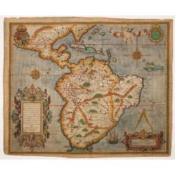
Gastaldi's map of South America from Giacomo Gastaldi's Atlas of 1548 which has been called the most comprehensive atlas, produced between Martin Waldseemüller's Geograp...
Date: Venice, 1548
Selling price: ????
Please login to see price!
Sold in 2022
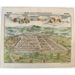
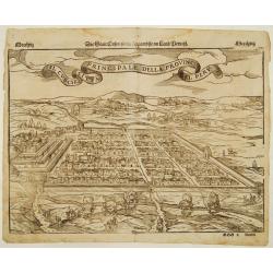
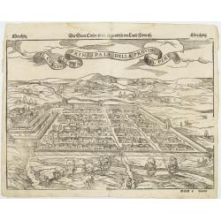
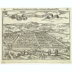
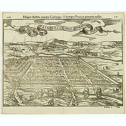
Der Statt Cusco / so die fuernembste im Land Peru / Il Cuscho Citta Principale della Provincia del Peru.
An early woodcut view of Cusco (Cuzco) in Peru by Sebastian Munster on a full double sheet. One of the earliest views of a city in the 'New World'. Verso an early woodcut...
Date: Basel, H.Petri, ca. 1550
Selling price: ????
Please login to see price!
Sold in 2019
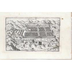
Il Cuscho citta principale della provincia del Peru.
A very desirable item of this decorative and early bid's-eye view of the Inca city of Cuzco, based on Antoine du Pinet's depiction of the city. Several figures shown insi...
Date: Basle 1555
Selling price: ????
Please login to see price!
Sold
Il Cuscho citta principale della provincia del Peru.
A very desirable item of this decorative and early bid's-eye view of the Inca city of Cuzco, based on Braun & Hogenberg's depiction of the city. Several figures shown...
Date: Basle, 1555
Selling price: ????
Please login to see price!
Sold
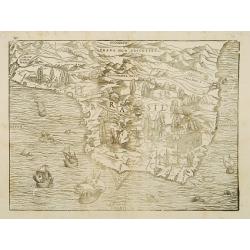
Brasil.
A fantastic pictorial map of Brazil, shown north to the right. This graphic woodblock map, prepared by the great Venetian cartographer Giacomo Gastaldi and is filled with...
Date: Venice about 1556
Selling price: ????
Please login to see price!
Sold
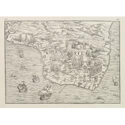
Brasil.
A fantastic pictorial map of Brazil, shown north to the right. This graphic woodblock map, prepared by the great Venetian cartographer Giacomo Gastaldi and is filled with...
Date: Venice ca. 1556
Selling price: ????
Please login to see price!
Sold
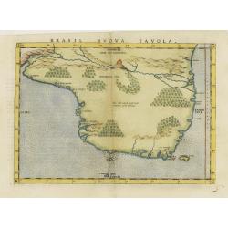
Brasil nuova tavola.
Uncommon first edition of this early map of Brazil. West to the top.Girolamo Ruscelli's edition of Ptolemy's Geographia included newly engraved copperplates by Giulio and...
Date: Venice, 1561
Selling price: ????
Please login to see price!
Sold in 2020
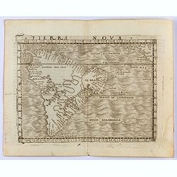
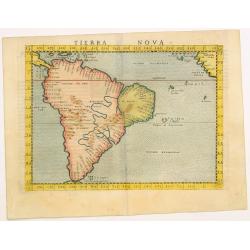
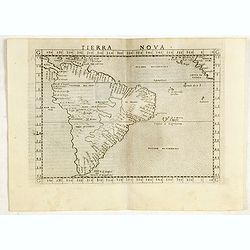
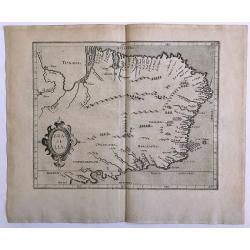
Tierra Nova.
Uncommon first edition of this early map of South America.Girolamo Ruscelli\'s edition of Ptolemy\'s Geographia included newly engraved copperplates by Giulio and Livio S...
Date: Venice, 1561
Selling price: ????
Please login to see price!
Sold in 2009
Tierra Nova.
Scarce FIRST edition of this map depicting South America, extending from Labrador to Jamaica. The map is based upon a map published by Giacomo Gastaldi in 1548. One of th...
Date: Venice, 1561
Selling price: ????
Please login to see price!
Sold in 2017
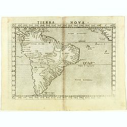
Tierra Nova.
Scarce FIRST edition of this map depicting South America, extending from Labrador to Jamaica. The map is based upon a map published by Giacomo Gastaldi in 1548. One of th...
Date: Venice, Vincenzo Valgrisi, 1561
Selling price: ????
Please login to see price!
Sold in 2018
Il Cuscho citta principale della provincia del Peru.
A very desirable and scarce item of this decorative and early bid's-eye town-plan of the Inca city of Cuzco. Several figures shown inside the city walls and on the hillsi...
Date: Lyons, 1564
Selling price: ????
Please login to see price!
Sold in 2012
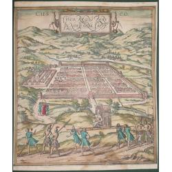
Cusco, Regni Peru in Novo Orbe Caput.
According to George Braun : "The capital of Peru in the south of the New world is Cusco, a city so large, powerful and beautiful that it can easily rank alongside th...
Date: Antwerp, 1572
Selling price: ????
Please login to see price!
Sold in 2014
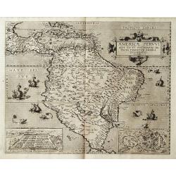
Americae Pervvi aqve ita vt postremvm detecta traditvr recens delineatio.
Map of Central and South America from the extremely rare first edition.. This map shows South America, part of Mexico, Caribbean and the southern tip of Florida. In lower...
Date: Antwerp 1578
Selling price: ????
Please login to see price!
Sold
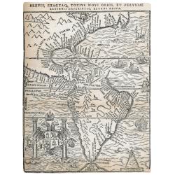
Brevis exactaq totius novi orbis eiusq insularum descriptio recens edita
Woodcut map of the Americas, which was published in three states. The first in Antwerp by Iuan Steelsio in 1554 in “La Historia General de las Indias”, written by the...
Date: Antwerp, 1566, 1567 or 1583
Selling price: ????
Please login to see price!
Sold in 2023
Principale della provincia citta del peru il cuscho.
On recto an early birds-eye view of Cusco. On verso tittle page and a plan of Mexico City "Urbs themistiana hispaniae" (165x162mm.)From a German text edition of...
Date: Basle, 1550-1590
Selling price: ????
Please login to see price!
Sold in 2014
Americae Pars Magis Cognita. Chorographia nobilis & opulentae Peruanae Provinciae, atque Brasiliae, . . . MDXCII
Although a map of South America it does include much of what is now the southern United States. There are two elaborate, strap-work cartouches with the one at lower right...
Date: Frankfurt, 1592
Selling price: ????
Please login to see price!
Sold in 2014
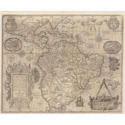
[South America] Delineatio omnium orarum totius Australis partis Americae..
A particularly decorative example of Dutch cartography boasting two intricate strapwork cartouches. Exotic animals and bellicose indians populate the continent, while in ...
Date: Amsterdam 1593
Selling price: ????
Please login to see price!
Sold
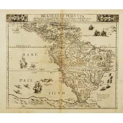
Brasilia et Peruvia.
A rare map of south America and the Caribbean with sea monsters and five sailing ships decorating the sea and small vignettes of natives, some with bow and arrow, others ...
Date: Antwerp 1593
Selling price: ????
Please login to see price!
Sold
[South America] Delineatio omnium orarum totius Australis partis Americae..
A particularly decorative example of Dutch cartography boasting two intricate strapwork cartouches. Exotic animals and bellicose indians populate the continent, while in ...
Date: Amsterdam 1593
Selling price: ????
Please login to see price!
Sold
[South America] Delineatio omnium orarum totius Australis partis Americae. . .
A particularly decorative example of Dutch cartography boasting two intricate strapwork cartouches. Exotic animals and bellicose Indians populate the continent, while in ...
Date: Amsterdam, 1593
Selling price: ????
Please login to see price!
Sold in 2014
[South America] Delineatio omnium orarum totius Australis partis Americae. . .
A particularly decorative example of Dutch cartography boasting two intricate strapwork cartouches. Exotic animals and bellicose Indians populate the continent, while in ...
Date: Amsterdam, after 1593
Selling price: ????
Please login to see price!
Sold in 2017
[South America] Delineatio omnium orarum totius Australis partis Americae. . .
A particularly decorative example of Dutch cartography boasting two intricate strapwork cartouches. Exotic animals and bellicose Indians populate the continent, while in ...
Date: Amsterdam, after 1593
Selling price: ????
Please login to see price!
Sold in 2015
[South America] Delineatio omnium orarum totius Australis partis Americae. . .
A particularly decorative example of Dutch cartography boasting two intricate strapwork cartouches. Exotic animals and bellicose Indians populate the continent, while in ...
Date: Amsterdam, after 1593
Selling price: ????
Please login to see price!
Sold in 2019
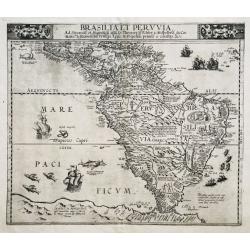
Brasilia et Peruvia.
VERY RARE. THE EARLIEST DUTCH MAP OF SOUTH AMERICA. A nice example of De Jode's important map of South America, based largely upon Petrus Plancius' wall map of the World....
Date: Antwerp, 1593
Selling price: ????
Please login to see price!
Sold in 2020
Cusco
Miniature town view of the City of Cuzco, Peru, with figures in the foreground Valegio signature at the lower edge of the plate. It was published as part of a series of b...
Date: Venice, 1595
Selling price: ????
Please login to see price!
Sold in 2016
Brasilia
A map of Brazil from "Descriptionis Ptolemaicae Augmentum, sive Occidentis Notitia" published in 1597. First edition, paper size 30 x 37 cm, map size: 28.4 cm x...
Date: 1597
Selling price: ????
Please login to see price!
Sold in 2016
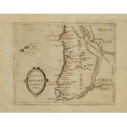
Chili Provincia Amplissima.
Very rare sixteenth century map of Chili.Published in the German edition of José de Acosta's De Natura Nova Orbis, first published in Salamanca, 1588. Acosta was a Spani...
Date: Cologne 1598
Selling price: ????
Please login to see price!
Sold
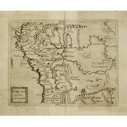
Peruani Regni Discriptio.
Very rare sixteenth century map of Peru.Published in the German edition of José de Acosta's De Natura Nova Orbis, first published in Salamanca, 1588. Acosta was a Spanis...
Date: Cologne 1598
Selling price: ????
Please login to see price!
Sold
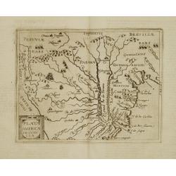
Plata Americae Provincia.
Very rare sixteenth century map showing part of Peru and the territory known as Paraguay including La Plata River and south part of Brazil, with effluents of Panama river...
Date: Cologne 1598
Selling price: ????
Please login to see price!
Sold
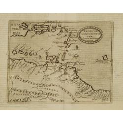
Residuum Continentis cum Adiacentibus Insulis.
Very rare sixteenth century map of Venezuela, including the islands of Curaçao, Bonaire, Aruba and the islands in the Caribbean and Puerto Rico.Published in the German e...
Date: Cologne 1598
Selling price: ????
Please login to see price!
Sold
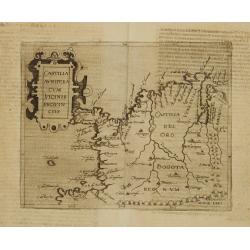
Castilia Aurifera cum vicinis Provinciis.
Very rare sixteenth century map of Colombia.Published in the German edition of José de Acosta's De Natura Nova Orbis, first published in Salamanca, 1588. Acosta was a Sp...
Date: Cologne 1598
Selling price: ????
Please login to see price!
Sold
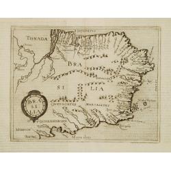
Brasilia.
Very rare sixteenth century map of Brazil.Published in the German edition of José de Acosta's De Natura Nova Orbis, first published in Salamanca, 1588. Acosta was a Span...
Date: Cologne 1598
Selling price: ????
Please login to see price!
Sold
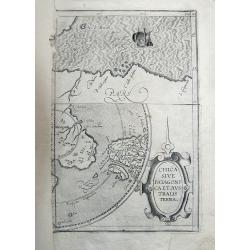
Chica Sive Patagonica et Australis Terra.
Fragment of the famous and rare copper engraved map by Cornelius Wytfliet, published in "Descriptionis Ptolemaicae Augmentum". The map portion on the top shows...
Date: 1598
Selling price: ????
Please login to see price!
Sold in 2011
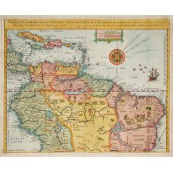
Nova Et Exacta Delineatio Americae Partis Australis Que Est : Brasilia, Caribana, Guiana ?
Very rare map of South America, published by Hulsius. First issue. One of the two maps of Central and South América published in "Brevis & admiranda descriptio ...
Date: Nuremberg 1599
Selling price: ????
Please login to see price!
Sold in 2010
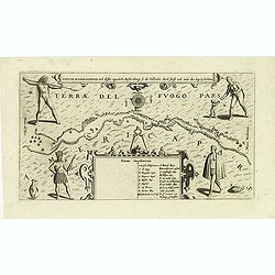
Fretum Magellannicum, und dessen eigentliche Beschribung, so die hollander durch schifft und aush der leng beschreiben.
A fascinating early map of the Strait of Magellan, with north at the bottom, showing ships sailing the passageway between Terrae del Fuogo Pars and Americae Pars. Depicte...
Date: Frankfurt, 1599
Selling price: ????
Please login to see price!
Sold in 2012
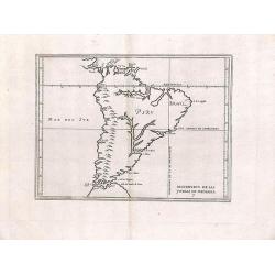
Descripcion de las yndias de mediodia.
Rare map depicting South America by Antonio de Herrera Y Tordesillas. He was the official historian of Spain and the Indies. This simply engraved map of the continent was...
Date: 1601
Selling price: ????
Please login to see price!
Sold in 2013
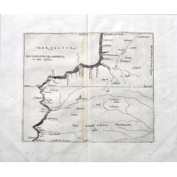
Descripcion del audencia 10 del Quito.
A rare early map with parts of modern day Ecuador, Columbia and Peru. Naming towns, and showing rivers. The earliest map to include information from the previously secret...
Date: Madrid, ca 1601
Selling price: ????
Please login to see price!
Sold in 2022
Nova et exacta delineatio Americae partis australis.. [2 maps]
Very rare map of South America, published by Hulsius. The map is arrayed with wildlife throughout the land, a battle scene in Brazil and mythological figures. The seas ar...
Date: Nuremberg 1602
Selling price: ????
Please login to see price!
Sold
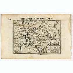
Descriptio Freti Magellanici / Fretum Magellanicum.
A rare miniature map of the Straits of Magellan. Title cartouche on the lower right corner.First published in 1598 in his Caert-Thresoor, the plates were executed by the ...
Date: Amsterdam, Cornelis Claes, 1606
Selling price: ????
Please login to see price!
Sold in 2016
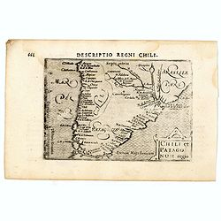
Descriptio Regni Chili / Chili et Patago num regio.
A rare miniature map of Southern part of South America, including Chili,, Brasil, Argentina. Title cartouche on the lower right corner.First published in 1598 in his Caer...
Date: Amsterdam, Cornelis Claes, 1606
Selling price: ????
Please login to see price!
Sold in 2016
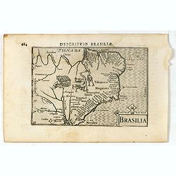
Descriptio Brasiliae / Brasilia.
A rare miniature map of Brazil. Title cartouche on the lower right corner.First published in 1598 in his Caert-Thresoor, the plates were executed by the most famous engra...
Date: Amsterdam, Cornelis Claes, 1606
Selling price: ????
Please login to see price!
Sold in 2016
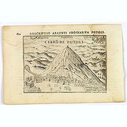
Cerro de Potosi.
This lovely miniature bird's-eye view shows the famous mountain of silver, mined extensively by the Spanish in the 17th century. The view shows miners climbing the mounta...
Date: Amsterdam, 1606
Selling price: ????
Please login to see price!
Sold in 2019
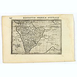
Descriptio Americae Australis.
An attractive miniature map of South America, published by Petrus Bertius, in Amsterdam at the turn of the seventeenth century. Brazil is still seen as a little misshapen...
Date: Amsterdam, 1606
Selling price: ????
Please login to see price!
Sold in 2021
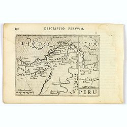
Peru.
An attractive miniature map of Peru, with north orientated to the right, published by Petrus Bertius in Amsterdam at the turn of the seventeenth century. Some interior i...
Date: Amsterdam, 1606
Selling price: ????
Please login to see price!
Sold in 2023
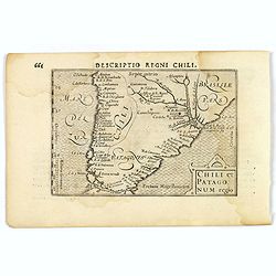
Chili et Patagonum regio.
A rare miniature map of southern part of South America, including Chili, parts of Brazil, and Argentina. Title cartouche on the lower right corner. First published in 159...
Date: Amsterdam, 1606
Selling price: ????
Please login to see price!
Sold in 2019
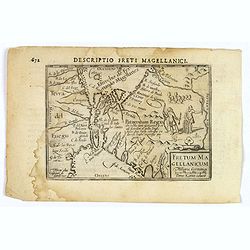
Descriptio Freti Magellanici.
A rare miniature map of the Straits of Magellan. Title cartouche on the lower right corner. Vignette of two local inhabitants. With good map detail. First published in 15...
Date: Amsterdam, 1606
Selling price: ????
Please login to see price!
Sold in 2019
[Title page] Das sechste Theil der nieuwen Welt oder Der Historien Hieron. Benzo von Meylandt. . .
Title page from a German text edition "Das sechste Theil der nieuwen Welt oder Der Historien Hieron. Benzo von Meylandt. . ." being part VI of the Grand Voyages...
Date: Frankfurt, 1607
Selling price: ????
Please login to see price!
Sold in 2016
Cusco urbs nobilissima & opule[n]tissima Peruani regni in occide[n]tali parte. . .
Famous town plan of Cuzco, from the first German edition of part VI of de Bry's " Grands Voyages". In this work the conquest of Peu by Pizarro was discribed. Th...
Date: Frankfurt, 1607
Selling price: ????
Please login to see price!
Sold in 2024
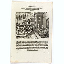
Franciscus Pizarrus, Didocus Almagrus, und ein Priester Ferdinandus Luques machen eine Verbündnuss zusammen.
Francisco Pizarro, Diego de Almagro, and the priest, Hernando de Luque, negotiate a contract while men load cargo onto boats and ships. Includes dwellings, casks, swords,...
Date: Frankfurt, 1607
Selling price: ????
Please login to see price!
Sold in 2023
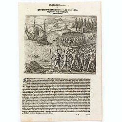
Ein behertzter Schiffknecht dess Pizarri auss Creta bürtig drengt mitten durch die Meng de. . .
In 1528 Pizarro set out on a voyage of true exploration in search of the civilization and riches of Peru, about which he had heard so much from the Indians of Panama. Whe...
Date: Frankfurt, 1607
Selling price: ????
Please login to see price!
Sold in 2023
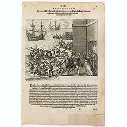
Pizzarus wird widerumb mit dem Almagro versönet sie beyde schweren zusammen dass sie trewlich bey einander stehn und halten wöllen biss in den Todt.
Francisco Pizarro and Pedro de Almagro swear an oath on the Host held by the priest, Hernando de Luque. The men stand in front of fortifications while ships are loaded by...
Date: Frankfurt, 1607
Selling price: ????
Please login to see price!
Sold in 2016
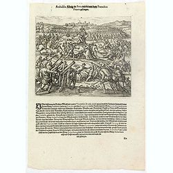
Atabaliba König in Peru wirdt von dem Francisco Pizarro gefangen.
The Inca king, Atahualpa or Atabaliba, holding a scepter in the shape of the sun, is carried on a litter into a scene of warfare. A priest or monk with a crucifix approac...
Date: Frankfurt, 1607
Selling price: ????
Please login to see price!
Sold in 2023
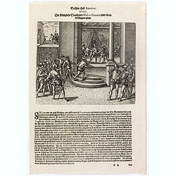
Der Königliche Statthalter Blascus Nunnez Vella wird in ein Gefängnuss gelegt.
This stabbing caused so much resentment among the people of Lima that the new governor, Blanco Núñez Vela, eventually decided he would be safer to transfer his offices ...
Date: Frankfurt, 1607
Selling price: ????
Please login to see price!
Sold in 2023
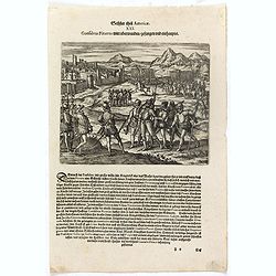
Das sechste Theil der nieuwen Welt oder Der Historien Hieron. Benzo von Meylandt. . .
Conflict between Gonzalo Pizarro and the latest officially appointed governor of Peru, Pedro de la Gasca, reached a climax in 1548 when Gasca’s forces crossed the Apuri...
Date: Frankfurt, 1607
Selling price: ????
Please login to see price!
Sold in 2023
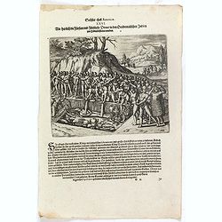
Wie herrlich die Fürsten und Fürstliche Diener in den Occidentalischen Indien zur Erden bestattet werden.
Native Americans bury a chief or king with food, golden vessels, and jewelry. Includes feathered garments and fortifications. The funeral of an Inca king was a ceremony o...
Date: Frankfurt, 1607
Selling price: ????
Please login to see price!
Sold in 2023
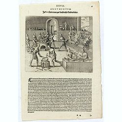
In Peru findet man gar kunstreiche Goldtarbeiter.
Native American method of working gold and silver. Men blow through reeds over a hearth, furnace, or foundry. Other men pound metal with hammers. Other men work the metal...
Date: Frankfurt, 1607
Selling price: ????
Please login to see price!
Sold in 2023
In der Insel Ferri genandt so eine auss den Canarien ist findet man kein ander süss wasser als nur so auss einem eintzigen Baum daselbst täglich herunder trieffet.
Natives of the Canary islands collect water falling from the leaves of a tree. Includes dwellings, vessels, and clouds over the tree. Text page with copper engraving page...
Date: Frankfurt, 1607
Selling price: ????
Please login to see price!
Sold in 2020
[The battle between rival indians near Bertioga].
An epic struggle between theTupinambá tribe and their enemy - the Tupiniki tribe.The battle lasted about two hours, during which time both sides howled at each other lik...
Date: Frankfurt, 1607
Selling price: ????
Please login to see price!
Sold in 2018
[A Portuguese ship comes to look for Staden].
Hans Staden was a German soldier and explorer, who travelled to South America during the mid 16th century. Whilst there he was captured by native Indians in Brazil. He su...
Date: Frankfurt, 1607
Selling price: ????
Please login to see price!
Sold in 2018
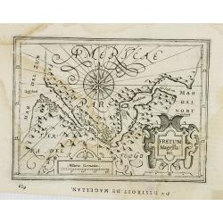
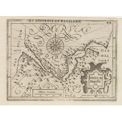
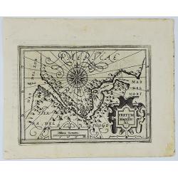
Fretum Magella:ni.
Early map of Strait Magellan. Depicts the extremity of South America, with Patagonia, the Straight of Magellan, Terra del Fuego and the discoveries made by LeMaire and Sc...
Date: Amsterdam, 1608
Selling price: ????
Please login to see price!
Sold in 2008
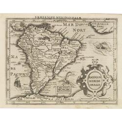
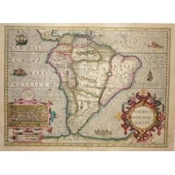
America Meridi:onalis.
Attractive map of South America, embellished with a strapwork title-cartouche, from the first French-text edition of Jodocus Hondius' Atlas Minor.Shortly after the public...
Date: Amsterdam, 1608
Selling price: ????
Please login to see price!
Sold in 2009
Fretum Magellani.
Early map of Strait Magellan. Depicts the extremity of South America, with Patagonia, the Straight of Magellan, Terra del Fuego and the discoveries made by LeMaire and Sc...
Date: Amsterdam, 1608
Selling price: ????
Please login to see price!
Sold in 2011
Fretum Magellani.
An early map of Strait Magellan. Depicts the extremity of South America, with Patagonia, the Straight of Magellan, Terra del Fuego and the discoveries made by LeMaire and...
Date: Amsterdam, 1609
Selling price: ????
Please login to see price!
Sold in 2020
America Meridionalis.
Superb folio map of the continent that was added by Jodocus Hondius for publication in his continuation of the Mercator Atlas. The map is beautifully engraved with a wave...
Date: Amsterdam 1609/1616
Selling price: ????
Please login to see price!
Sold
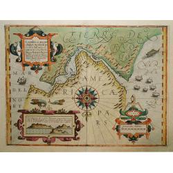
Tierra del Fuogo / Porto Desire (Carte vande nieuwe Passagie bezuijden de Strate Magellan)
Early map of the region depicting the tip of South America with Tierra del Fuogo, which is unexplored on the west. Depicts the tract of Guillaume Schouten and Jacob Le Ma...
Date: Cologne, c. 1616
Selling price: ????
Please login to see price!
Sold in 2011
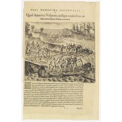
Pars Undecima Orientalis I. Quid Americo Vesputio, ejusque comitibus, in India . . .
Amerigo Vespucci (1454-1512) or one of his crew members capturing by female cannibals at arrival in South America. Note the violin which is oddly included among the strew...
Date: Frankfurt, 1619
Selling price: ????
Please login to see price!
Sold in 2023
Exquisita & magno aliquot.. Freti Magellanici. . .
A map of the extremities of South America. North at 180 degrees. Borders graduated for latitude. Single compass rose with radiates. Scale in German miles. Soundings and s...
Date: Amsterdam, 1619
Selling price: ????
Please login to see price!
Sold in 2020
America Meridionalis
A stunning map of South America with Latin text on the verso. The Strait of Magellan is shown but Tierra Del Fuego is part of the large southern continent. Eastern Braz...
Date: Amsterdam, c 1620
Selling price: ????
Please login to see price!
Sold
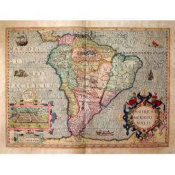
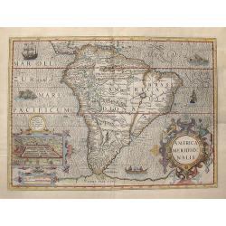
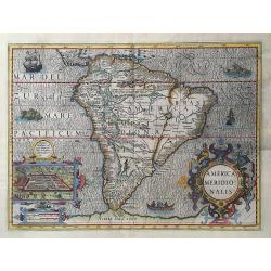
America Meridionalis.
A very decorative map which includes several animated vignettes of ships, sea monsters and indigenous people. The inset is a view of Cuzco in Peru, the Inca capital. The ...
Date: Amsterdam, 1620
Selling price: ????
Please login to see price!
Sold in 2009
America Meridionalis.
Gerard Mercator's stunning map of South America.The Strait of Magellan is shown, but Tierra Del Fuego is part of the large southern continent. Eastern Brazil is depicted ...
Date: Amsterdam, ca. 1620
Selling price: ????
Please login to see price!
Sold in 2016
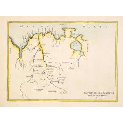
Descripcion del audiencia del nuevo Reino 9
Rare map of Venezuela from Novus Orbis, sive Descriptio Indiae Occidentalis. This collection of voyages is often referred to as an edition of Herrera, which is not strict...
Date: Amsterdam 1622
Selling price: ????
Please login to see price!
Sold
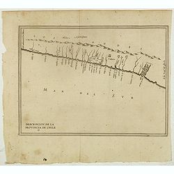
Descripcion De la Provincia de Chile. 13
Rare early map of the province of Chile, locating rivers and settlements, the earliest map to include information from the previously secret manuscript maps of the Spanis...
Date: Amsterdam, Michel Colin, 1622
Selling price: ????
Please login to see price!
Sold in 2017
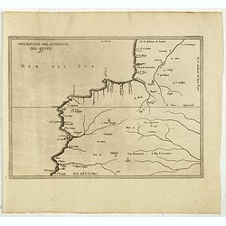
Descripcion Del Audiencia Del Quito. (Colombia & Ecuador)
Rare early map of now Ecuador and Quito. From Antonio de Herrera y Tordesillas Description des Indes Occidentales Qu'on appelle aujourdhuy Le Nouveau Monde. .. This map i...
Date: Amsterdam, Michel Colin, 1622
Selling price: ????
Please login to see price!
Sold in 2017
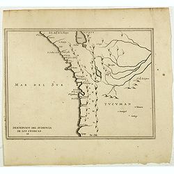
Descripcion Del Audiencia De los Charcas (Chile, Bolivia, Peru)
The earliest map to include information from the previously secret manuscript maps of the Spanish cosmographer, Juan López de Velasco, showing the Audiencia of the New K...
Date: Amsterdam, Michel Colin, 1622
Selling price: ????
Please login to see price!
Sold in 2017
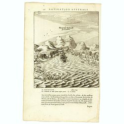
Hoornse Eijlandt Isle de Hoorn.
Scarce print on French text sheet showing the bay and coast of the South Seas island of Futuna (Hoorn). The bay shown was named after the ship Eendrachts (Unity Bay). Wil...
Date: Amsterdam, 1622
Selling price: ????
Please login to see price!
Sold in 2018
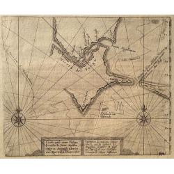
Untitled map of Port Desire (today's Puerto Deseado, Argentina)
Scarce untitled map of Port Desire (today’s Puerto Deseado, Argentina). From a description of the voyage of Le Maire and Schouten included in the first French text ed...
Date: Amsterdam, 1622
Selling price: ????
Please login to see price!
Sold in 2018
Descripcion de las Yndias de Mediodia. 7.
The earliest map to include information from the previously secret manuscript maps of the Spanish cosmographer, Juan López de Velasco, showing South America with the pap...
Date: Amsterdam, Michel Colin, 1622
Selling price: ????
Please login to see price!
Sold in 2017
Exquilita.. Freti Magellanici Facies.
A highly decorative and sought after copperplate engraving of the Straights of Magellan from the Mercator-Hondius atlas. This example depicts creatures believed to inhabi...
Date: Amsterdam 1623
Selling price: ????
Please login to see price!
Sold
Aenwysinge van de Stadt Salvador, ende de Baya de Todos Los Santtos.
Extremely rare map of Salvador and Baia de Todos os Santos (Bay of Saints) published by the The Hague publisher Henricus Hondius (not to confuse with the Amsterdam H.Hond...
Date: The Hague, 1624
Selling price: ????
Please login to see price!
Sold
Americae Pars Magis Cognita.
A beautiful map focusing on the Spanish possessions in the Americas, this map covers what is the present-day southern United States through South America. It was publishe...
Date: Low Countries, 1624
Selling price: ????
Please login to see price!
Sold in 2019
![[South America] Delineatio omnium orarum totius Australis partis Americae..](/uploads/cache/16740-250x250.jpg)
![[South America] Delineatio omnium orarum totius Australis partis Americae..](/uploads/cache/21304-250x250.jpg)
![[South America] Delineatio omnium orarum totius Australis partis Americae. . .](/uploads/cache/34876-250x250.jpg)
![[South America] Delineatio omnium orarum totius Australis partis Americae. . .](/uploads/cache/35162-250x250.jpg)
![[South America] Delineatio omnium orarum totius Australis partis Americae. . .](/uploads/cache/94145-250x250.jpg)
![[South America] Delineatio omnium orarum totius Australis partis Americae. . .](/uploads/cache/41496-250x250.jpg)
![Nova et exacta delineatio Americae partis australis.. [2 maps]](/uploads/cache/21606-250x250.jpg)
![[Title page] Das sechste Theil der nieuwen Welt oder Der Historien Hieron. Benzo von Meylandt. . .](/uploads/cache/36981-250x250.jpg)
![Cusco urbs nobilissima & opule[n]tissima Peruani regni in occide[n]tali parte. . .](/uploads/cache/37010-250x250.jpg)
![[The battle between rival indians near Bertioga].](/uploads/cache/39414-250x250.jpg)
![[A Portuguese ship comes to look for Staden].](/uploads/cache/39416-250x250.jpg)
