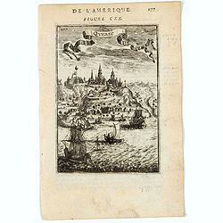
Quebec.
1683 MANESSON MALLET, A. - Quebec.
Date: Paris, 1683
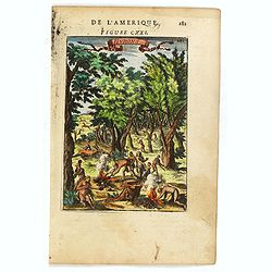
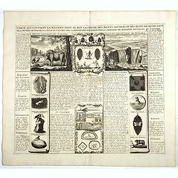
Carte qui contient la manière.. Niagara..
1720 CHATELAIN, H.A. - Carte qui contient la manière.. Niagara..
Date: The Hague 1720
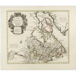
Carte du Canada ou de la Nouvelle France.
1730 COVENS, J. / MORTIER, C. - Carte du Canada ou de la Nouvelle France.
Date: Amsterdam, 1730
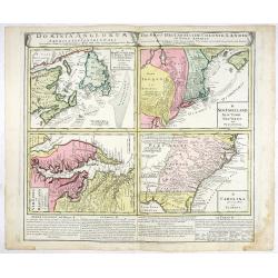
Dominia Anglorum in America Septentrionali.
1740 HOMANN HEIRS - Dominia Anglorum in America Septentrionali.
- $750 / ≈ €667
Date: Nuremberg 1740
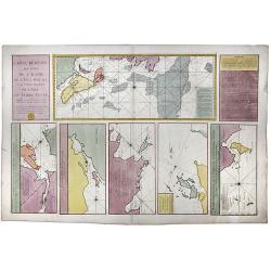
Carte Reduite, des Cotes De L'Acadie, de L'Isle Royale, et de la Partie Meridionale de L'Isle de Terre Neuve.
1753 LE DÉPÔT GÉNÉRAL DE LA MARINE / BELLIN, J.N. - Carte Reduite, des Cotes De L'Acadie, de L'Isle Royale, et de la Partie Meridionale de L'Isle de Terre Neuve.
Date: Paris, 1753
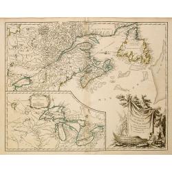
Partie de l'Amerique Septent ...
1755 DE VAUGONDY, G. R. / - Partie de l'Amerique Septent ...
Date: Paris, 1755
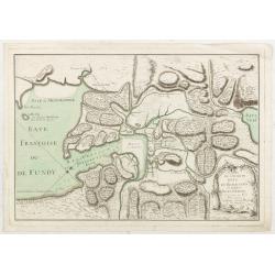
L’Isthme de L’Acadie, Baye du Beaubassin, en Anglois Shegnekto, environs du Fort Beausejour
1755 LE ROUGE, G.-L. - A Military map of the Acadian Isthmus of Chignecto, showing the area around Fort Beauséjour / Fort Cumberland, Baye du Beaubassin, and the approach...
Date: Paris, 1755
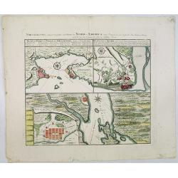
Vorstellung Einiger Gegenden und Plaetze in Nord-America unter Franzoesisch und Englische Jurisdiction Gehoerig zu Finden bey den Homaennischen Erben in Nurnberg Ao. 1756.
1756 HOMANN HEIRS - Vorstellung Einiger Gegenden und Plaetze in Nord-America unter Franzoesisch und Englische Jurisdiction Gehoerig zu Finden bey den Homaennischen Erb...
Date: Nuremberg, 1756
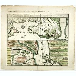
Vorstellung einiger Gegende und Plaetze in Nord America.
1756 HOMANN HEIRS - A sheet of three town plans on one page, comparing French- and British-held strongholds in Canada at the outset of the French and Indian War
Date: Nurmberg 1756
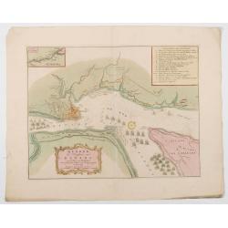
Quebek de hoofdstad van Kanada.
1759 TIRION, I. - Tirion's detailed plan of the Siege of Quebec in 1759, at the outset of the French & Indian War
Date: Amsterdam, 1759
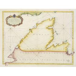
Carte Réduite De La Partie Septentrionale De L'' Isle De Terre Neuve..
1767 BELLIN, J.N. - Carte Réduite De La Partie Septentrionale De L'' Isle De Terre Neuve..
Date: Paris, 1767
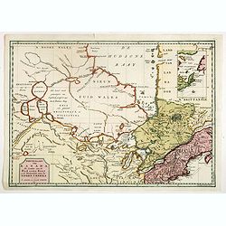
Nieuwe kaart van Kanada . . .
1769 TIRION, I. - Nieuwe kaart van Kanada . . .
Date: Amsterdam, 1769
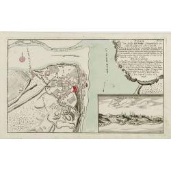
Plan der Stadt Quebec Haupstadt in Neu Franckreich oder Canada.
1770 RASPISCHE BUCHHANDLUNG - Plan der Stadt Quebec Haupstadt in Neu Franckreich oder Canada.
Date: Nurnberg, 1770

[Haida Gwaii,] Baye Swallow . . . / Havre Byron /Côté septentrional de la plus grande des Isles de la Reine Charlotte. . . .
1774 COOK, Captain J. - Map of Swallow's Bay and a coastline profile of the Queen Charlotte Islands and Captain Byron's Heaven
Date: Paris, 1774

[Upper sheet map only] The Provinces New York, and New Jersey with part of Pensilvania and the Province of Quebec.
1777 HOLLAND, S./ BROENNER, H.L. - [Upper sheet map only] The Provinces New York, and New Jersey with part of Pensilvania and the Province of Quebec.
- $750 / ≈ €667
Date: Frankfurt, 1777
