Browse Listings
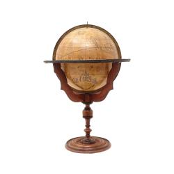
Globe Terrestre Didié et Présénté a Monseigneur le Comté Maubec de Brancas...
Terrestial globe dated 1741. Complete title "Globe Terrestre Didié et Présénté a Monseigneur le Comté Maubec de Brancas Par Jacque Hardy. Dressé sur ...
Place & Date: Paris, dated 1741
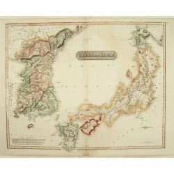
Corea and Japan.
A fine large-scale map of Japan and Korea showing an increasingly refined outline to the Japanese islands but still oversized Korean peninsula. The strait south of Korea,...
Place & Date: Edinburgh, 1816
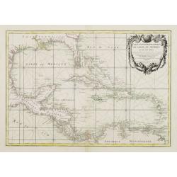
Carte Geo-Hydrographique du Golfe du Mexique et de ses Isles..
Map of the Caribbean and Gulf of Mexico showing the various islands and continental coastlines according to the 18th century Venetian cartography of Rizzi Zannoni.Illustr...
Place & Date: Paris, ca 1783
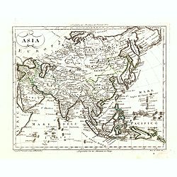
Asia.
Uncommon map of Asia. Engraved by Marco di Pietro.The map is of interest for the use of G. di Corea, for the sea between Korea and Japan.Published by Carlo Antonio Barbie...
Place & Date: Milan, 1807
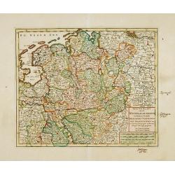
Nieuwe Kaart van de Westfaalse Kreits..
Isaac Tirion was born in Utrecht ca. 1705. He came to Amsterdam ca. 1725. Tirion published a number of important books, many of which are still in demand for their intere...
Place & Date: Amsterdam, 1745
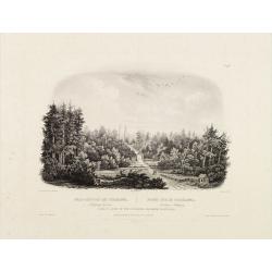
Forest scene on the Tobihanna Alleghany Mountains.
Original aquatint engraving for Travels in the Interior of North America between 1832-34 . Engraved by L.Weber. The finest work on American Indian life and the American F...
Place & Date: London/Paris/Coblenz, 1839
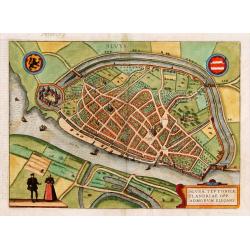
Slusa, Teutonicae Flandriae opp. . . (Sluis)
Bird'eye view of the town of Sluis.From the greatest publication in this genre!. The Civitates was compiled and written by George Braun, Canon of Cologne Cathedral. Braun...
Place & Date: Cologne, 1580
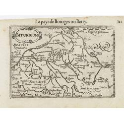
Biturigum.
A miniature map of the Berry. Fine cartouche in the upper left corner.First published in 1598 in his Caert-Thresoor, the plates were executed by the most famous engravers...
Place & Date: Amsterdam/Frankfurt 1609
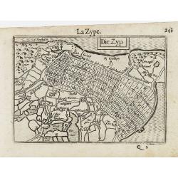
Die Zyp / La Zype.
A miniature map showing the polder of De Zype. Title cartouche in the upper side.First published in 1598 in his Caert-Thresoor, the plates were executed by the most famou...
Place & Date: Amsterdam / Frankfurt, 1609
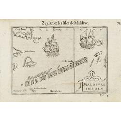
Maldivae Insulae.
Very fine early miniature map of Maldives Islands. East is at the top. Title cartouche on the lower right corner. A dolphin and two ships are depicted.First published in ...
Place & Date: Amsterdam / Frankfurt, 1609
