Browse Listings in America > North America
[ Niagara Falls ]
Two aquatints depicting the Horse Shoe Fall (also known as Canadian Falls at the top) and the Fort Schloper Fall (bottom) engraved by Biasolé. From Giulio Ferrario's wor...
Place & Date: Milan, 1827
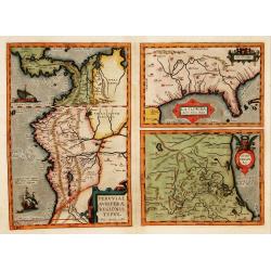
La Florida/ Peruviae Auriferae regionis Typus/ Guastecan.
The Chaves map of Florida is a prime example of an explorer's map since it records the recent discoveries of Cabeza de Vaca, De Soto, and Moscoso. The map revealed little...
Place & Date: Antwerp, 1592
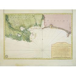
Carte d'une Partie des Cotes de la Floride et de la Louisiane, Contenant le Cours du Mississipi...
A well engraved and highly detailed chart of part of the Gulf Coast, dated 1778 that was issued in Neptune americo-septentrionale. The chart covers the area between St. J...
Place & Date: Paris, 1778-1780
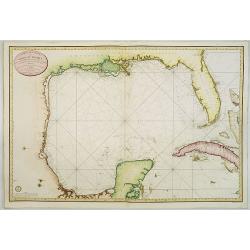
Carte des côtes du Golfe du Mexique compris entre la pointe sud de la presqu'Ile de la Floride et la pointe nord de la presqu'Ile d'Yucatan: Dresée d'après le observations et las plans des espagnols, ...
Detailed and important early chart of the Gulf Coast and Florida and dated 1800. First French edition of "the first printed [map] to show and name Galveston Bay&qu...
Place & Date: Paris, 1800
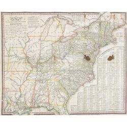
The Traveller's Guide. A Map Of The Roads, Canals And Steam Boat Routes Of The United States ... Designed for the use of Travellers, By H.S. Tanner.
Rare first edition of Tanner's travel map in pocket map form, in it original red leather covers, with the map and no text, as issued. Ristow says the first edition was 18...
Place & Date: Philadelphia, 1825
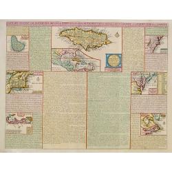
Carte qui contient..Iles & Terres..L'Amerique..Jamaique..
Eight maps on one sheet. From Chatelain's Atlas Historique et Méthodique . Including maps of Bermuda, Jamaica, New England with Long Island, Carolina, Chesapeake and Del...
Place & Date: Amsterdam 1728
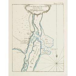
Plan du Port de St Augustin dans la Floride.
This chart shows a plan of the Port of St. Augustine in Florida.The only issue of this version of Bellin's map, slightly larger than the common version. Depths shown by s...
Place & Date: Paris, 1764
[Soil map] Virginia-Maryland-West Virginia, Leesburg sheet.
Early color lithographed soil map by Julius Bien & Co. in New York for Department of Agriculture. Legends at side give detail on soil type, etc. They also include int...
Place & Date: New York, 1903
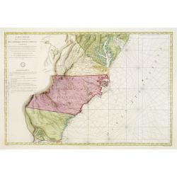
Carte Réduite Des Côtes Orientales De L' Amérique Septentrionale Contenant Partie du Nouveau Jersey.. Virginie.. Georgie..
Uncommon chart that extends from Delaware Bay and Philadelphia south through much of Georgia to Island Amelia and St. Johns River. Fleur-de-lis and rhumb lines fill the s...
Place & Date: Paris, 1778
Amerique Septentrionale divisée en ses principales parties. . .1685. [California as an Island]
Engraved by Cordier. Spectacular example of Jaillot's map of North America, showing California as an Island, based upon Sanson's landmark map of 1656. This map shows the ...
Place & Date: Paris, 1685
![[ Niagara Falls ]](/uploads/cache/27543-250x250.jpg)
![[Soil map] Virginia-Maryland-West Virginia, Leesburg sheet.](/uploads/cache/23257-250x250.jpg)
![Amerique Septentrionale divisée en ses principales parties. . .1685. [California as an Island]](/uploads/cache/60628-250x250.jpg)