Browse Listings in America > North America
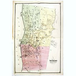
Plan of Yonkers Town of Yonkers Westchester Co. N.Y. . . .
Fine lithographed map of Yonkers, New York. The map provides the names of specific homeowners, as well as information about the occupations and physical locations of the ...
Place & Date: New York, 1867
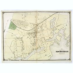
Plan of the Borough of New Rochelle, Westchester Co. N.Y.
Fine lithographed map of the plan of the Borough of New Rochelle. The map provides the names of specific homeowners, as well as information about the occupations and phys...
Place & Date: New York, 1867
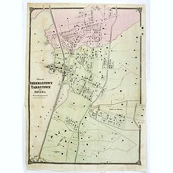
Plan of the Beekmanton Tarryntown and Ivring. Westchester Co. N.Y.
Fine lithographed map of the plan of the Beekmantown, Tarrytown, and Irving, New York. The map provides the names of specific homeowners, as well as information about the...
Place & Date: New York, 1867
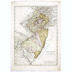
New Jersey entworfen von D.F. Sotzmann. Hamburg bey Carl Ernst Bohn 1796 . . . NO.VIII
Extremely rare map of New Hampshire prepared by Daniel Friedrich Sotzmann for Christopher Ebeling's "Erdbeschreibung von Amerika", a project ended after only te...
Place & Date: Hamburg, Carl Ernst Bohn, 1797
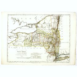
New Yok entworfen von D.F. Sotzmann. Hamburg bey Carl Ernst Bohn 1799 . . . NO.VII
An extremely rare map of New York prepared by Daniel Friedrich Sotzmann for Christopher Ebeling's "Erdbeschreibung von Amerika", a project ended after only ten ...
Place & Date: Hamburg, Carl Ernst Bohn, 1799
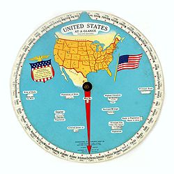
United States At-A-Glance.
A clever device for demonstrating the statistics of each state, the Area, Population, Highest Elevation, Principal River, Capital, railroad Mileage, Date Entered Union, P...
Place & Date: New York & London: International At-A-Glance Chart Co. 1931
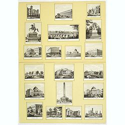
20 small lithographed views of Washington DC and Georgetown.
20 small lithographed town-views of Washington DC and Georgetown, cut out from a larger sheet. Showing the East Front of the Capitol, Treasury, Smithsonian Institute, Pre...
Place & Date: Casimir Bohn, Washington, D.C.: 1849
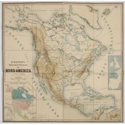
Kiepert's Physikalische Wandkarten. VI. Nord-America.
Large folding school wall map of North and Central America printed in chromo-lithography. Published by Dieter Reimer and printed by Leopold Kraatz in Berlin. Three inset...
Place & Date: Berlin, Dieter Reimer, 1864
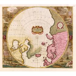
Poli Arctici, et circumiacentium terrarum descriptio novissima. . .
A re-issue of the Hondius' plate. A particularly decorative map of the North Pole with Iceland. Several Dutch names in Labrador. The toponymy in Canada reflects the conti...
Place & Date: Amsterdam, 1660
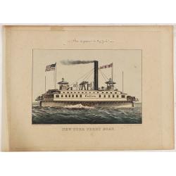
New York Ferry Boat. (Bac à vapeur de New York).
A very decorative print showing the New York Ferry Boat "Fulton," published by Currier & Ives. The Ferry boat "Fulton" sails to the right. A singl...
Place & Date: New York, ca. 1875
