Browse Listings in Europe
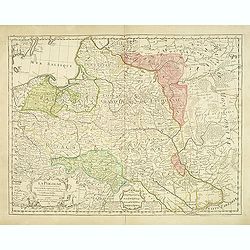
La Pologne Dressée sur ce qu'en ot donné Starovolsk, Beauplan, Hartnoch. . .
Large map of Poland, Lithuania, Belarus and part of Ukraine. The map is filled with detail and decorated with a title cartouche flanked by mythological figures.According ...
Place & Date: Paris, 1773 - 1780
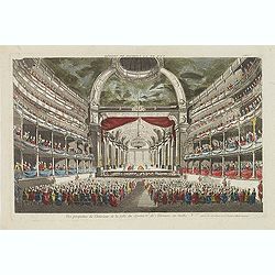
Vue perspective de l'interieur de la Salle du spectacle de Veronne en Italie.
Showing the Opera of Verona. Optical print published Mondhare, who was a well-known publisher of optical prints, established in rue St. Jacques in Paris. In the eighteent...
Place & Date: Paris, ca. 1780
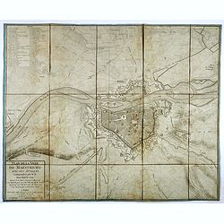
Plan de la ville de Maestricht avec ses attaques commandées par M. le maréchal de Saxe, depuis le 15 avril jusqu'au 3 may 1748 . . .
A plan of Maastricht rising after the capture of the city by the French troops led by the Marshal of Saxony. The city was besieged between 15 April and 3 May 1748, during...
Place & Date: Paris, 1781
Campagne du Roi de Prusse de 1778 à 1779.
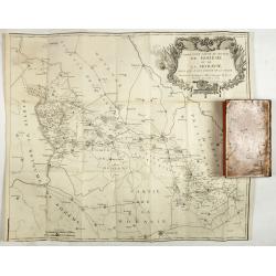
The book is illustrated with a two-sheet folding map "Carte d'une partie du Royaume de Bohême et de la Moravie ainsi que d'une partie de la Silésie". Prepared...
Place & Date: Geneva, Paris, Mérigot le jeune, 1784
[Crimea]. Carte de la Cromée.
Mapmaker, Captain Jan Hendrik van Kinsbergen (1735-1819). Published by H. Friesman in 1787. This map first appeared in 1776 and was the first Russian map of the newly ann...
Place & Date: Amsterdam, H. Frieseman, 1787
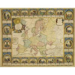
Carte d'Europe . . .
Rare. Uncommon and decorative wall map of Europe, prepared by Clouet. With superb decoration including a wonderful rococo border with vignettes describing historical scen...
Place & Date: Paris, 1785-1788
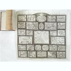
Tableau des guerres de Frédéric le Grand: ou plans figurés de vingt-six batailles rangées, ou combats essentiels donnés dans les trois guerres de Silésie. . .
The book includes a large folded map "Tableaux des Guerres de Frédéric le Grand", showing a map of Prussia, with present-day Poland and Eastern Germany surrou...
Place & Date: Potzdam, Strasbourg, Paris, 1788
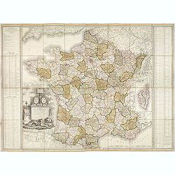
Carte de la France Divisée en 83 Départements et Subdivisée en districts avec les Chefs-lieux de Cantons Présentée à l'Assemblée Nationale et au Roi.
Spectacular folding wall map of France engraved by Barrier. Panels on both sides: "Tableau de la Division de la France d'après les décrets de l'Assemblée national...
Place & Date: Paris, Belleyme, 1791
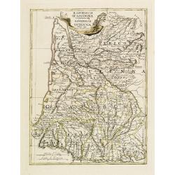
Il Governo di Guascogna con porzione del Governo di Guienna.
Rare regional map of France of the Périgord, Guienne, Gascogne and the Béarn published by Carli Pazzini in Siena.
Place & Date: Siena, 1792
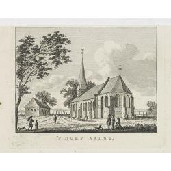
't dorp Aalst.
Rare print of the old church of Aalst (near Eindhoven), from Vaderlandsche gezichten of afbeeldingen.. by J.Bulthuis, printed by H.Gartman in Amsterdam.
Place & Date: Amsterdam, 1786 / 1792
![[Crimea]. Carte de la Cromée.](/uploads/cache/25719-250x250.jpg)
