Browse Listings
Eight Indian paintings, accordion mounted.
SUPERB SET of eight remarkable free miniatures, presenting couples in natural decorations. The miniatures are painted in Iran or India in late 19th - early 20th century]....
Place & Date: Iran, India, ca. 1900
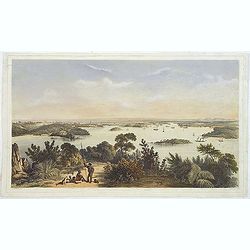
(The City And Harbour Of Sydney From Near Vaucluse.)
One of the most sought after views of the city and harbour of Sydney seen from Near Vaucluse, 1852. Magnificent hand-colored tinted lithograph and finished by gum-Arabic....
Place & Date: London, J. Hogarth, 1852
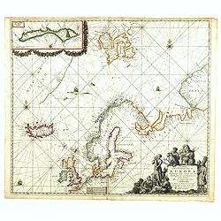
Pascarte van Europa Beginnende vande Canael tot aen Spitbergen, en van Ysland tot aen Nova Zemla . . .
An eye-catching chart of northern Europe with a coastline from northern Russia to the Dutch English Channel in the south. Good detail on Iceland. North to the top.In the ...
Place & Date: Amsterdam, after 1666
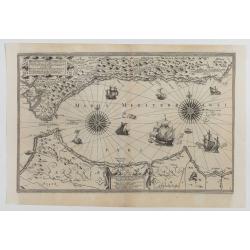
Hydrograhica descriptio
This very rare chart is important as the first printed sea chart of the Mediterranean coast of Spain, Gibraltar, also depicting the northern coast of Marocco.Willem Bar...
Place & Date: Amsterdam, W.Blaeu, 1612
Amerique Septentrionale divisée en ses principales parties. . .1685. [California as an Island]
Engraved by Cordier. Spectacular example of Jaillot's map of North America, showing California as an Island, based upon Sanson's landmark map of 1656. This map shows the ...
Place & Date: Paris, 1685
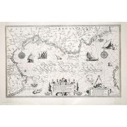
(Sea-chart of Catalunia, Languedoc, Provence, Cote d'Azur, Riviera, Corsica with Marseille, Cannes, Nice, Monaco.)
This very rare chart is important as the first printed sea chart of France's Mediterranean coast, also depicting Catalunya's northern coast, the Italian Cote d'Azur till ...
Place & Date: Amsterdam, 1607
[Set of 6 maps] Charta öfver Storfurstendömet Finland på Friherre S. G. Hermelins Anstalt och Omkostnad. Sammandragen och författad af C. P. Hällström. Philos. Magister och Auscultant i Kongl. BergsColl. 1799.
This is the beautiful set of key map and separate maps of Samuel Gustav Hermelins map of Finland. The maps have been engraved by Fredrik Akrel, a very skilled and product...
Place & Date: Källa: J.Strang & E.- S. Harju: Suomen karttakirja 1799
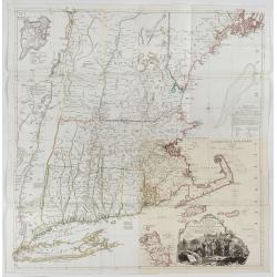
A Map of the most Inhabited part of New England containing the Provinces of Massachusetts Bay and New Hampshire, with the Colonies of Connecticut and Rhode Island.
A copper engraving in four sheets, published in Georges Louis Le Rouge, in his "Atlas Ameriqua in Septentrional Contenant les details des differentes provinces, de c...
Place & Date: Paris, 1777
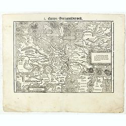
I Europa / Das dritteil der Welt.
Very early wood cut printed map of Europe with South to the top. In the lower-left corner we see Poland, Livonia and parts of England and Ireland in the lower right corne...
Place & Date: Zurich, Christoffel Froschover, 1548,1552-1566
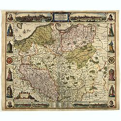
Tabula nova Poloniae et Silesiae.
Second state, dated 1630 underneath the title. A finely engraved carte á figures with cartouche representing in the four corners of the map : Kings ( on the left side Si...
Place & Date: Amsterdam, 1630

![Amerique Septentrionale divisée en ses principales parties. . .1685. [California as an Island]](/uploads/cache/60628-250x250.jpg)
![[Set of 6 maps] Charta öfver Storfurstendömet Finland på Friherre S. G. Hermelins Anstalt och Omkostnad. Sammandragen och författad af C. P. Hällström. Philos. Magister och Auscultant i Kongl. BergsColl. 1799.](/uploads/cache/34482-250x250.jpg)
