Carte du Palatinat du Rhin.
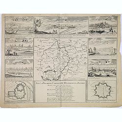
Decorative "carte à figures"- map centered on Koblenz, Metz, Strasburg, Manheim and Heidelberg, with the river Rhine by François Jollain (ca. 1641 – 18 Apri...
Place & Date: Paris, ca. 1688
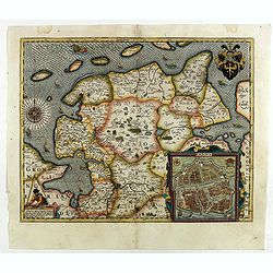
Typus Frisiae Orientalis à Dullarto
One of the most decorative maps of East Frisia and its important shipping center of Emden and the Watten Islands, from the cartography of Ubbo Emmius, a local cartographe...
Place & Date: Amsterdam, ca. 1624
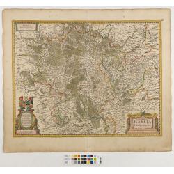
Hassia Landgraviatus.
Centered on the town of Kassel.
Place & Date: Amsterdam, 1650
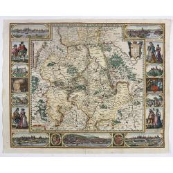
Palatinatus Rheni Nova et Accurata Descriptio.
Early state (1630) of Visscher's "carte à figures"- map of the German Rhine River Valley. Inset views of Frankfurt am Main, Mainz, Speyer, Worms and Heidelberg...
Place & Date: Amsterdam, 1630
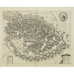
Hamburgum.
Engraved bird's-eye town-plan of Hamburg, two keys below. Frederick de Wit published after 1694 a town book of European and Asian cities (Theatrum Praecipuarum Totius Eur...
Place & Date: Amsterdam, ca. 1694
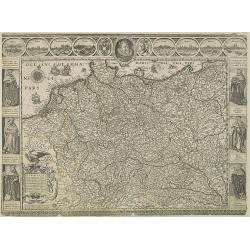
Germania.
Second state of this rare "carte à figures"- map of Germany, The Netherlands, Poland and central Europe. Bordered on three sides with portraits and views. In t...
Place & Date: Amsterdam, 1607
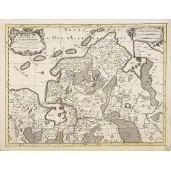
Oost-Frise, ou Le Comté d'Embden . . .
Fine map of East Friesland with a decorative cartouche and small scale of miles.Alexis-Hubert Jaillot (1632-1712), was a French cartographer. He joined the Sanson heirs a...
Place & Date: Amsterdam, 1692
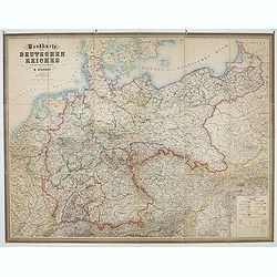
Wandkarte des Deutsches Reiches zum Schul und Comptoir-Gebrauch. . .
School wall map of Germany, Poland, Low Counties, Bohemia printed in chromo lithography with contemporary hand coloring to borders. Published by "Stich und Druck der...
Place & Date: Berlin, Dieter Reimer, 1878
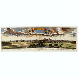
Norimberga.
A spectacular panoramic of Nuremberg, with legends numbered from 1-39 in German. With the title in a banderol.After a design by Friedrich Bernhard Werner (1690-1776) who...
Place & Date: Augsburg, ca. 1720
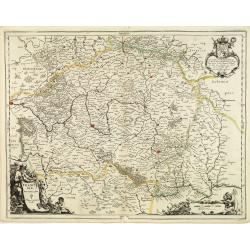
Franconiae nova descriptio.
Second state of this early map of Franken, including Regensburg, Heidelberg, Marburg and Hof. In lower part decorative cartouches and upper right a dedication to Franz vo...
Place & Date: Amsterdam, after 1646
