Browse Listings in Europe
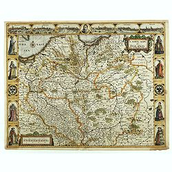
A Newe mape of Poland Done into English by I.Speede.
A wonderful map of Poland. Incorporated into Speed's 'Prospect Of The Most Famous Parts Of The World.' Includes birds-eye views of Cracow, Dantzick, Posna, Crossen, Sando...
Place & Date: London, 1627
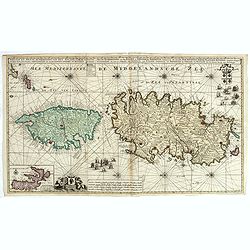
Nieuwe en Nette Afteekening van het Eyland Corsica en het Eyland Elba vertoonende alle desselfs Havenen, Steeden en Rivieren . . .
Highly decorative large sea chart of Corsica, Sardinia and Elba, including multiple sailing ships, compass roses, cartouche, coat of arms, rhumb lines, topographical deta...
Place & Date: Amsterdam, ca. 1710
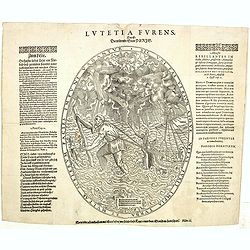
Lutetia Furens. Das ist : Die wütende Statt PARIS.
Rarissime placard dirigé contre la Ligue et le duc de Mayenne. La gravure est signée I.S. (marque inconnue). Ce placard en latin et en allemand est une reprise de l’e...
Place & Date: France ca.. 1594
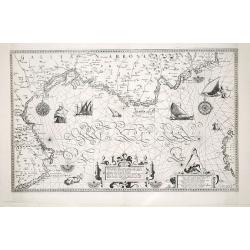
(Sea-chart of Catalunia, Languedoc, Provence, Cote d'Azur, Riviera, Corsica with Marseille, Cannes, Nice, Monaco.)
This very rare chart is important as the first printed sea chart of France's Mediterranean coast, also depicting Catalunya's northern coast, the Italian Cote d'Azur till ...
Place & Date: Amsterdam, 1607
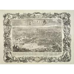
Paris, Lutetia, Parisii, Ville Capitale du Royaume de France.
View of Paris seen from the hill "Belleville based on that of Merian (1616) but updated with the new gates Saint-Denis and Saint-Martin. With a key 1-78 and A-Z. Sur...
Place & Date: Paris, after 1676
[Crimea]. Carte de la Cromée.
Mapmaker, Captain Jan Hendrik van Kinsbergen (1735-1819). Published by H. Friesman in 1787. This map first appeared in 1776 and was the first Russian map of the newly ann...
Place & Date: Amsterdam, H. Frieseman, 1787
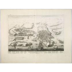
Les Villes forts et châteaux de Malte capitale de l'isle de ce nom. Dessignée sur le lieu par un Ingr du roy.
A very decorative and extremely rare town-view of Valetta, including a numbered legend in lower part. Published by Jacques Chereau, (1688 - 1776). Engraved by Aveline and...
Place & Date: Paris, ca.1750
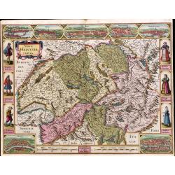
Nova Helvetiae Tabula.
A most decorative "carte à figures" map with panoramic views of Lucern, S.Gal, Bern, Solothurn, Schafhausen in upper border and Basel and Zurich in lower left ...
Place & Date: Amsterdam, 1630
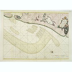
Nieuwe en zeer accuraate Zee-Caart van de Hollandse Wal strekkende van de Maas tot Texel opgenomen door Jan Rokusz Douw, , ,
A very fine and rare chart of the coast of Holland, Prepared by Jan Rokusz, Douw and Agge Roskam Kool.Embellished with a very decorative cartouche with a dedicational tex...
Place & Date: Amsterdam, 1750
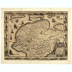
Frisia occidentalis.
A rare separately published carte-a-figures of Friesland by Geelkercken in its first state. The title and the coats of arms of the eleven Frisian towns appear in the cent...
Place & Date: [Leeuwarden], Dierick Albertsen, 1618
![[Crimea]. Carte de la Cromée.](/uploads/cache/25719-250x250.jpg)
