Browse Listings in Map Types
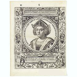
Christophorus Columus Ligur Indiarum Prim invet A°1492
Very decorative portrait of Christopher Columbus (c. 31 October 1451 – 20 May 1506), engraved by Theodor de Bry (1528-1593) and published in Jean Jacques Boissard, &quo...
Place & Date: Frankfurt a.M. 1597 - 1599
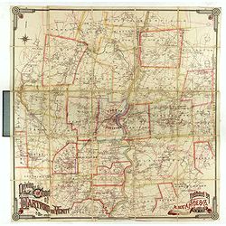
Driving chart of Hartford and vicinity : 15 miles around.
Road map by Albert A. Hyde & Co. of Hartford and vicinity, with the Connecticut River in the center. Published by Albert A. Hyde & Co., in New York and lithograph...
Place & Date: New York / Philadelphia, 1884
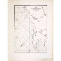
Plan du Cap de Bonne-Esperance et ses environs..
Large and detailed sea chart of the Cape of Good Hope from Saldahna Bay to False Bay.Engraved by Guillaume-Nicolas Delahaye (1727-1802).Latitude and longitude scales, com...
Place & Date: Paris, 1745
[Portrait] Johannes Baptista Homann . . .
Stunning full portrait of the Imperial Geographer of the Holy Roman Empire, Johann Baptist Homann (1664-1724) who was born in the Bavarian town of Kammlach. Educated at a...
Place & Date: Nuremberg, c.1740
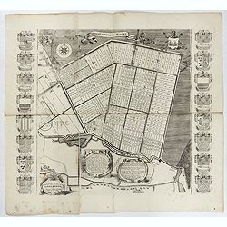
Chaerte vande Wieringer waert, de welcke inden jaere XVI… (Wieringerwaard)
Rare wall map of the Wieringerwaard polder, as raffled on 12 July 1611. The polder was laid dry in 1610. It border, and also the border of the municipality, were the Zuid...
Place & Date: 1741-1744
Jules Verne Le Tour du Monde en 80 jours. [Goose game board inspired by Jules Verne's novel Tour du Monde en 80 jours.]
Goose game board inspired by Jules Verne's novel, whose boxes are illustrated with color lithographs and the center occupied by a world map. Vignette illustrations number...
Place & Date: Paris, ca. 1880
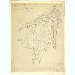
Trop d'Appetit par A. Le Petit.
Dated in lower right dated "Le 9 juin 1875". The drawing is representing an alligator's jaw wearing a Prussian helmet, and about to chew a globe. Alfred Le Peti...
Place & Date: Paris, 1875
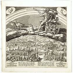
Mercurius.
Mercury holding a caduceus and riding in a chariot drawn by two birds on the clouds in the sky, an extensive landscape with a harbor with goods being loaded and unloaded ...
Place & Date: Antwerp, 1585
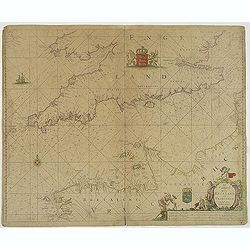
Het Canaal tusschen Engeland en Vranciick.
An eye-catching chart of the Channel.Pieter Goos (ca. 1616-1675) was one of the most important cartographers, engravers, publishers and print sellers of Amsterdam. His wi...
Place & Date: Amsterdam, after 1666
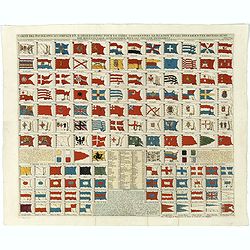
Carte des pavillons accompagnée d'observations pour en faire comprendre le blazon et les différentes devises aussy bien que d'une table alphabétique pour les trouver facilement.?
Map of 88 marine flags, including Malta, Turkey, Middelburg, Amsterdam, Portugal, Monaco, Tuscany, China, Nanking, the French Royal flag, French admiralty flag and mercha...
Place & Date: Amsterdam, 1720
![[Portrait] Johannes Baptista Homann . . .](/uploads/cache/36599-250x250.jpg)
![Jules Verne Le Tour du Monde en 80 jours. [Goose game board inspired by Jules Verne's novel Tour du Monde en 80 jours.]](/uploads/cache/44919-250x250.jpg)
