Browse Listings in Map Types
[Magazine including pictorial world map, Carriers of the New Black Plague by William Cotton.]
Front cover with color illustration of Moroccan male sheik and yellow lettering.Oversized magazine, features analysis of English justice, map of Herr Hitler's heaven (ful...
Place & Date: Chicago, April 7th, Vol.1 No.1 1938
[Title page from ] Le Theatre du Monde ou Nouvel Atlas . . .
A very decorative frontispiece by Willem Blaeu from the second part of this fine atlas. At top, a coat of arms surmounted by a crown and surrounded by two golden chains, ...
Place & Date: Amsterdam, 1644
[Title page] Atlante Novissimo, Tomo I . . .
Decorative Venitian frontispiece from Antonio Zatta's "Atlante Novissimo tomo I".
Place & Date: Venice, 1779
[Title page] Isolario.
Fine title page from Isolario Dell''''Atlante Vento..More about Coronelli. [+]
Place & Date: Venice, 1691
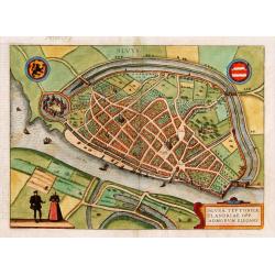
Slusa, Teutonicae Flandriae opp. . . (Sluis)
Bird'eye view of the town of Sluis.From the greatest publication in this genre!. The Civitates was compiled and written by George Braun, Canon of Cologne Cathedral. Braun...
Place & Date: Cologne, 1580
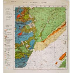
Carte géologique détaillée. Zahle.
Geological map showing part of Lebanon with Zahle. , including a legend with signs of the different geological ages. Provenance : Fondation P. Fallot
Place & Date: Liban, Service geographique des F.F.L., 1945.
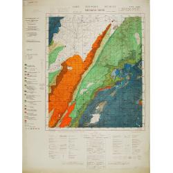
Carte géologique détaillée. Râchaïya Nord.
Geological or soil map showing part of Lebanon with Râchaïya , including a legend with signs of the different geological ages and giving many informations of greatest i...
Place & Date: Liban, Service geographique des F.F.L., 1945.
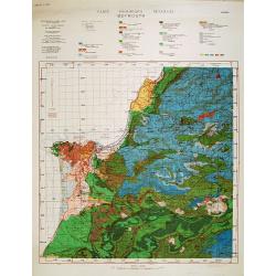
Carte géologique détaillée. Beyrouth.
Geological or soil map showing part of Lebanon with Beyrouth, including in top a colored legend with signs of the different geological ages. Provenance : Fondation P. Fal...
Place & Date: Liban, Service geographique des F.F.L., 1945.
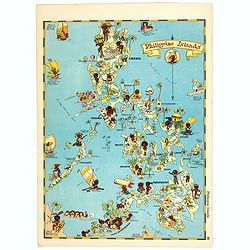
Philippines Islands.
Pictorial map of Philippines Islands, from the famous illustrator, Ruth Taylor White and published in "Our USA: A Gay Geography".Ruth Taylor White was among the...
Place & Date: Boston, Little, Brown and Company, 1935
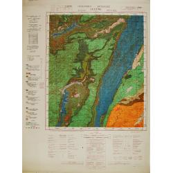
Carte géologique détaillée. Jezzîne.
Geological or soil map showing part of Lebanon with Jezzîne, including a legend with signs of the different geological ages and giving many information of greatest inter...
Place & Date: Liban, Service geographique des F.F.L., 1945.
![[Magazine including pictorial world map, Carriers of the New Black Plague by William Cotton.]](/uploads/cache/43680-250x250.jpg)
![[Title page from ] Le Theatre du Monde ou Nouvel Atlas . . .](/uploads/cache/45053-250x250.jpg)
![[Title page] Atlante Novissimo, Tomo I . . .](/uploads/cache/43898-250x250.jpg)
![[Title page] Isolario.](/uploads/cache/17785-250x250.jpg)
