Browse Listings in Europe > Netherlands > Holland - North
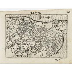
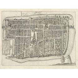
Die Zyp / La Zype.
A miniature map showing the polder of De Zype. Title cartouche in the upper side.First published in 1598 in his Caert-Thresoor, the plates were executed by the most famou...
Place & Date: Amsterdam / Frankfurt, 1609
DELFT. Delphium urbs Hollandiae cultissima. . .
A bird's-eye view of the town of Delft. From the first Dutch translation of Guicciardini's description of the Netherlands. In this town-plan, three buildings, still domin...
Place & Date: Amsterdam, 1612
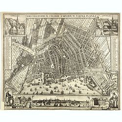
Amstelodamum, Celebre Emporium Forma Plana.
Second state of this rare and decorative plan of Amsterdam with Visscher's imprint. With a panoramic view seen from the IJ and further insets of Council House, The Exchan...
Place & Date: Amsterdam, c. 1636
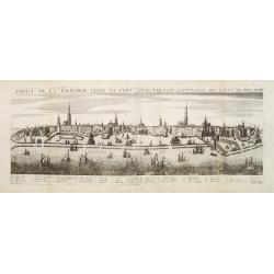
Profil de la renomée ville et port d'Emstredam cappitalle des estats de Hollande.
Extremely rare panoramic town-view of Amsterdam seen from the river IJ.Exceptional bright, sharp example.The print is skillful copy of the print of Matthieu Merian, now w...
Place & Date: Paris, 1647
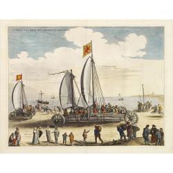
Currus Veliferi Illmi. Pr. Mauritii Nassouvii. (Prince Maurits' sailing-carriage, designed by Simon Stevin. )
Prince Maurits' sailing carriages had been designed by Simon Stevin. The Prince, always accessible to new inventions of his old instructor, could not please the foreign a...
Place & Date: Amsterdam, 1649
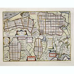
De Zype. / Purmer / Wormer/ Beemster / Waterland.
Five maps on one sheet. Showing the polders of De Zype, De Purmer, De Wormer, De Beemster and a map of Waterland, including de Bylmermeer and Monnekedam. Showing the Noor...
Place & Date: Amsterdam, 1652-1658
De Texel Stroom met de gaten vant Marsdiep. [with] Caarte van De Mase ende het Goereesche Gat.
Two decorative charts on one sheet, one depicting Texel and the entrance of the Zuider Zee with an inset showing the north coast of West-Friesland, the other depicting th...
Place & Date: Amsterdam, 1660
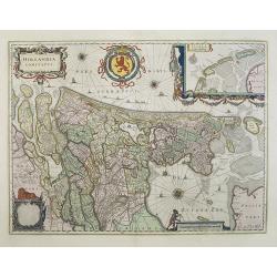
Hollandia Comitatus.
Orientated west to the top of the sheet, this presents the County of Holland in the classical orientation for seventeenth-century maps, with Amsterdam at the center. The ...
Place & Date: Amsterdam, 1660
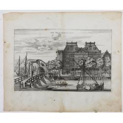
Het West Indisch Huys.
A decorative print of the West Indian House , the headquarters of the WIC, a place for meeting, trading and storage of spices and ship equipment. The maps and charts were...
Place & Date: Amsterdam, J. van Meurs, 1663
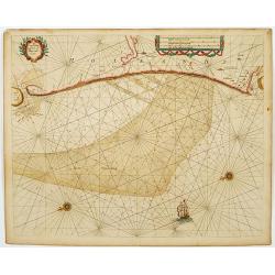
Cust van Hollant Tussen de Maes ende Texel.
Uncommon chart of the coast of Holland, including the southern tip of Texel. East at the top. Two fine compass cards, soundings and a large Bree Veerthien offshore.Piete...
Place & Date: Amsterdam, 1666
![De Texel Stroom met de gaten vant Marsdiep. [with] Caarte van De Mase ende het Goereesche Gat.](/uploads/cache/12097-250x250.jpg)
