Wall Maps
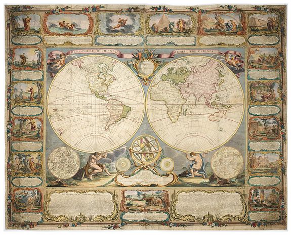
Wall maps were found in the interiors of wealthy businessmen. Wall maps occupied a prominent place in contemporary Dutch culture, serving as icons of affluence and intellectual curiosity.
One of the leading lights of the era, Constantijn Huygens (1596-87), remarked how he employed his own set of Blaeu's wall maps of the continents as a tool to enlighten his children, "To encourage them even more, I had the four parts of the world by Willem Blaeu mounted in my entrance hall,
where they often played, in order to provide them with a fixed image of the world and its division."
Willem Blaeu's wall maps are considered among the most influential and artistically virtuosic masterpieces of the great era of baroque cartography. His enterprise maintained close connections with intellectuals and political leaders across Europe, granting him privileged access to the most advanced geographical knowledge. Evinced by their fame is perhaps their appearance in several of Johannes
Vermeer's paintings.
Johannes Vermeer and wall maps
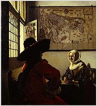
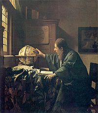
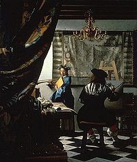
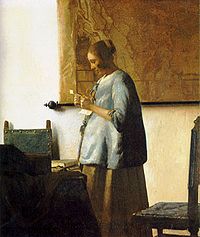
A striking feature of the relatively small number of paintings that comprise the oeuvre of Johannes Vermeer is the prominent place accorded to maps and globes. The use of maps as wall hangings in contemporary Dutch houses went beyond the desire for cartographic information. Maps were also used to express status, to promote a better understanding of history or politics, or to replace paintings. At the moment Vermeer painted his works, Amsterdam was the world center of map-making. Among the most majestic productions were the wall maps of Willem Blaeu.
The pride of place that wall maps claimed in Dutch homes is most eloquently presented in a half-dozen or so of Vermeer's exquisite paintings, as well as in contemporary scenes such as Pieter de Hooch's A Woman Drinking with Two Men (1658) in the National Gallery. These views of everyday life bear witness to an almost totemic cult of maps.
Paintings by Vermeer including wall maps :
 Â
Â
Soon, wall maps were available for libraries and offices of the wealthy and nobility throughout Europe. Wall maps also hung in many places in America in the eighteenth century, for instance in the Governor's Palace in Williamsburg, Virginia.
By the nineteenth century, wall maps were used throughout the United States. They hung in government offices, public meeting places, schools and in some homes. Early on in the century, wall maps showed the expanding country, with its natural features and political divisions, roads, canals and then railroads.
As these maps were specifically designed for practical use and their large format made careful study of details more likely, map makers updated them regularly to keep them as current and accurate as possible.
