The Hondius - Blaeu sale of 1629
One of the most dramatic events in the early history of commercial cartography in Amsterdam was the sale in 1629 of circa 40 Jocodus Hondius Jr. copperplates by his widow to Willem Jansz. Blaeu, is the most important competitor of the Hondius-Janssonius firm.
Blaeu replaced Jodocus Hondius Jr's name with his own on the plates and, the following year, published them together with his own maps. His brother Henricus Hondius, angry at the sale of plates to their competitor, engaged engravers to cut similar plates or, better and finer, which should be ready within eighteen months.
Jodocus Hondius Jr. was born in 1593, and his earliest signed publication was a map of Scandinavia, issued in 1613.
In June 1621, Jodocus Jr. married Anne Staffmaecker, and moved into a shop on the Dam, where he established his own publishing business. From the period 1621 onwards, Jodocus Jr. published a small number of maps, including several "figured border" maps, including maps of the four continents, the British Isles and Brabant. Jodocus Jr. also acted independently already at an early date, according to a resolution of the States-General of June 28th, 1613, ordaining that to "Jodoco Hondio de Jonge, is toegeleyt de somme van drye hondert gulden in eens, voor de dedicatie ende presentatie, bij hem volgens de orde van synen vader saliger, aen haere Ho. Mo. gedaen, van twee groote Globen..."
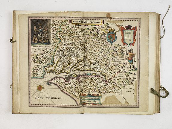
Jodocus Hondius Jr., since at least 1618, when he published the "Nova Virginia Tabula" map, produced folio-sized maps with the aim of publishing a new modern atlas to compete with his brother's Atlas, less dependent on the Mercator plates that his
father had acquired in 1604.
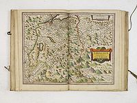
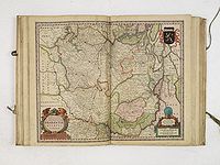
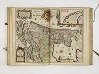
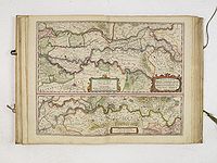
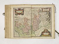
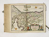
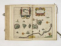
In 1629, about 40 copperplates were available and they all mark a new engraving style and format, thereby setting a new trend:
- The maps are no longer depending on the Mercator maps.
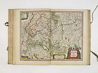
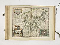
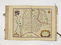
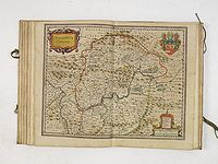
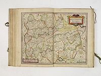
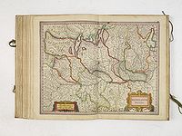
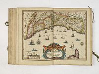
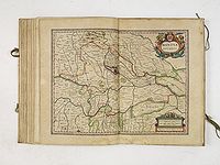
- are slightly larger in size (37 x 47cm) than the Mercator maps; but smaller than the loose sheet "figured bordered" maps produced in the years before.
- have Mannerist - Barocque style cartouches.
The typical Amsterdam "cartouche" introduced in Amsterdam's 'Golden Age' is thus introduced by Jodocus Hondius Jr. A cartouche typically framed the map's title, the maker's name, scale, dedication and often added decoration featuring the area. The interlaced strapwork and fretwork frames are replaced by a cartouche in a more asymmetrical shape in the Mannerist style, with Baroque motifs drawn from nature, with figurative imagery based on classical mythology and allegorical themes!
According to Peter van der Krogt in
Atlantes Neerlandici, "it would make sense that Jodocus Hondius Jr. has put together 'ad hoc
collections' of the maps all ready to stimulate further interest or presumably for display in autumn 1629 at
the Frankfurt bookfair. But before he could realize his plans, Jodocus Jr. died in 1629."
Presumably after Jodocus's Hondius Jr death on August 18, 1629, about 40 of his copperplates were sold to their competitor Willem Blaeu, which sale must have taken place before March 2nd, 1630. On this date Henricus Hondius and Johannes Janssonius engage the engravers Salomon Rogiers and Evert Sijmonsz. Hamersveldt to cut plates similar to the ones sold. This history is rather well-documented by a notary contract, signed on March 2nd, 1630.
According to the contract ". . . these 36 copper plates should be ready within eighteen months, should be accurate, finer and better than the maps given to the engravers. . . ."
The reason why the widow of Jodocus Sr. in 1629 sold copper plates to Blaeu and not to Henricus Hondius is not known to us. In any case, Henricus was very unpleased with it and in the "Advertissement au lecteur" of his Mercator Atlas of 1633, he calls the atlas by Blaeu a hotch-potch of old maps ("un ramas de cartes anciennes"), collected from their atlas.
After purchasing the copperplates, Blaeu bought out his first atlas Atlantis Appendix sive Pars Altera, in 1630 without text and with 60 maps, and 34 of them with the altered Jodocus Hondius Jr. plates.
It would mark one of the most
dramatic events in the early history of commercial cartography in Amsterdam!
The year 1630 was undoubtedly the birth year of Amsterdam Atlas production!; with the introduction of Blaeu's first Atlas production and Janssonius new atlas, both called "Appendix" and the addition of new plates to the Latin Mercator / Hondius atlas by Henricus Hondius.
It was not until 1633 that an atlas appeared on the market with Latin text, the Appendix, and was therefore seen as a complementation of the Mercator/Hondius Atlas.
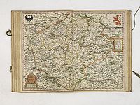
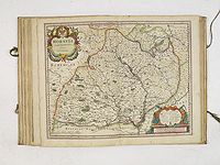
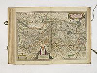
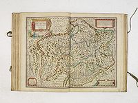
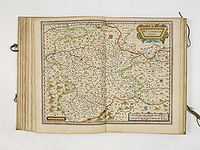
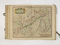
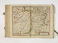
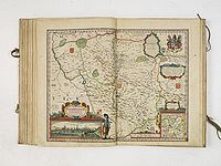
List of maps bought by Willem Blaeu from the widow Hondius and used in his atlases:
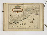
1. Nova Virginia Tabula.
2. Nova Hispania et Nova Galicia.
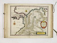
2. Terra Firma et Novum Regnum Granatense.
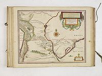
3. Venezuela.
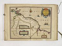
4. Guiana sive Amazonum Regio.
5. Novus Brasiliae typus.
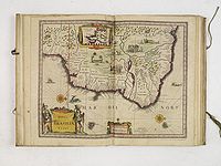
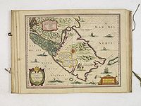
6. Peru.
7. Paraguay.
8. Freti Magellanici.
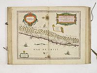
9. Chili.
10 Sabaudia Ducatus La Savoie.
12 Nova Italiae delineatio. ( Figured border map by Jodocus Hondius II and borders trimmed.)
13. England ( Figured border map by Jodocus Hondius II and borders trimmed.)
14. Frisia Occidentalis.
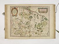
15. BRAUNSWYCK et MEYDBURG cum terris adjacentibus.
16. Groninga Dominium.
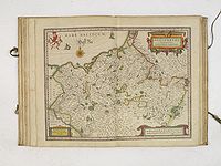
17. Celeberrimi Fluvii Albis nova delineatio. 1628
18. Ducatus Luneburgensis .
19. Meklenburg Ducatus.
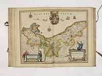
20. Pomeraniae Ducatus tabula.
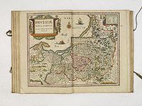
21. Prussiae nova tabula.
22. Bohemia.
23. Moravia Marchionatus.
24. Austria Archiducatus.
25. Alpinae seu Foederatae Rhaetiae.
26. Sueviae nova tabula.
27. Territorium Norimbergense.
28. Erpach comitatus.
29. Nassovia comitatus.
30. Westphalia Ducatus.
31. Coloniensis Archiepiscopatus.
32. Paderbornensis Episcopatus.
33. Osnabrugensis Episcopatus.
Oldenburg Comitatus.
34. Monasteriensis episcopatus.
35. Mediolanum Ducatus.
36. Genovesato. Serenissima Reipublicae Genuensis.
37. Mantua Ducatus.
38. Montisferrati Ducatus.
39. Terra Sancta..1629
40. Moluccae Insulae.
Other mapmakers:
11 Tabula Exactissima Regnorum Sueciae et Norvegiae, nec non Maris Universi Orientalis Terrarumq. adjacentium. (VISSCHER, N.J. Piscatore)
12 Ducatus Iuliacensis, Cliviensis, Montensis. et Comitatus Marciae et Rapens-Bergae finitimaeque eis Regiones de novo accurate in lucem editae. per Nicolaum I. Piscatorem. t'Amsterdam Gedruckt bij Claes Ianß. Visscher. Anno 1633.' (
VISSCHER, C. Jsz )
Contract between Henricus Hondius, Joannes Janssonius and the engravers Evert Symontsz Hamersvelt and Salomon Rogiers:
"II March 1630. For me, Palm, Mathijsz, a notary at Amsterdam have appeared Jan Jansz. and Hendrick Hondius, booksellers on one side and Evert Symontsz Hamersvelt and Salomon Rogiers, engravers, on the other side. They have agreed that the following 36 maps will be cut and etched at the following conditions:
These 36 maps have to be ready 18 months after this date, should be accurate and fine, yes, finer and better and not less in quality than the maps given to the engravers. The principals will pay the undertakers 100 carolus guilders for each engraved plate and will also pay the copperplate itself and the polishing. Five hundred guilders will be paid in advance in order to afford the undertakers to pay the labourers.
During the period mentioned above both Jan Jansz. and Henderick Hondius will not be allowed to employ any of the following engravers: Balthasar Floris, Daniel van Breen, Abraham Goos, Dirck Grijp, Salomon Svery or any one else who should be employed by the undertakers, with the exemption of Josua van den Ende and Pieter van den Keere.
If Salomon Rogier came to die within the aforesaid period, it will be up to Evert Symontsz to decide if he wants to stop or continue with the work, by lack of a good letter engraver. If Evert Symonsz. xame to die within the aforesaid period, Salomon Rogiers is forced to complete the task, provided that more time will be available for him."
Above is a summary of the contract published in K. & S. p. 1490-1491.
More reading :
- Johannes Keuning's 'Jodocus Hondius Jr.' (Imago Mundi, IV, p.63ff, Reprint edition, Amsterdam, Nico Israel,, 1965).
- Gunter Schilder's "The World Map Of 1624 By Willem Jansz. Blaeu & Jodocus Hondius" page 10,
- Koeman, Atlantes Neerlandici, Vol.I, pg. 344-348,
- Peter van der Krogt, Koeman's Atlantes Neerlandici New Edition, Volume 1, The Folio Atlases Published By Gerard Mercator Jodocus Hondius, p.125.