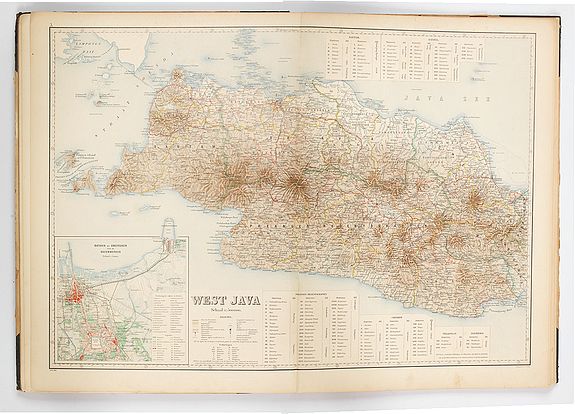
Atlas van Nederlandsch Oost- en West-Indie
Sold
The mapping of the Netherlands East Indies can be divided into five phases; the first two, in between the first contacts (1597) and the Napoleonic Wars, the period of the Dutch trading Empire of the United East India Company (VOC), and the one between the Napoleonic wars and 1864 are characterized by hydrographic charting; from 1790 onward on a scientific level.
In 1864 the Topographic Survey was initiated, directly under de General Staff, and this meant putting the systematic survey started in 1850 on a secure basis.
